Stuckton Iron Works
Swing riots and smallpox
This walk is one of five Historic Routes.
This historic trail is one of our longer routes, with views across the Avon Valley and Dorset. We journey through the New Forest; a working landscape, as well as a place people come to relax and retire. The area’s past was not so tranquil though, with heavy industry, riots and smuggling.
The research into this trail was carried out by the NPA with the help of volunteers for the Our Past, Our Future Landscape Partnership Scheme.
See the files tabs on the right for a printable leaflet of the walk.
Download our walking app
Our free walking app features points of interest and photographs.
New Forest code
Please be aware of the New Forest code when walking in the National Park.

Read more about the points of interest on this historic route in the New Forest.
Click on a link to jump to a point of interest.
1. Fordingbridge Cemetery
2. Stuckton Iron Works
3. Stuckton Evangelical Church
4. The Merrie Thought
5. Broadhill Lane
6. Cob cottage
7. Smallpox hospital
8. Watercress beds
9. Traces of the Bronze Age
10. Avon valley views
11. Keepers Cottage
a. Smuggling
b. Old police house
c. The Three Lions
d. Perambulation
e. Dorset views
f. Purlieu
g. Cider orchard
h. Chase end
1. Fordingbridge Cemetery
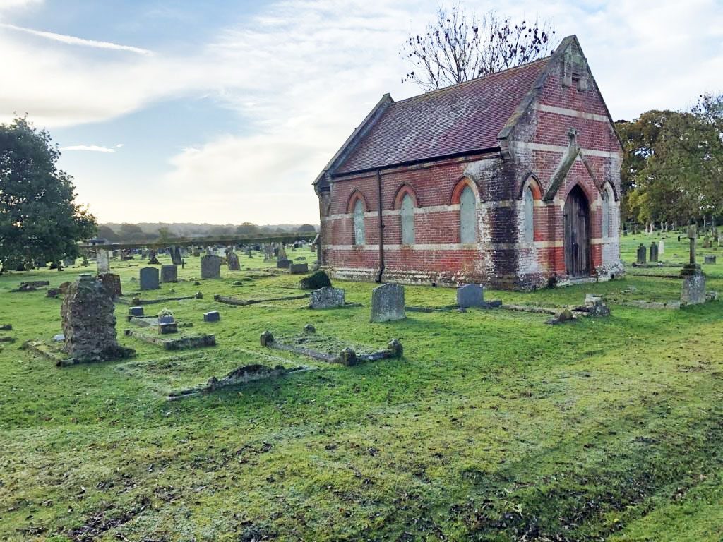
People have been laying their dead to rest at Fordingbridge Cemetery for thousands of years and marks in the grass show the locations of ploughed out Bronze Age round barrows (2100 to 750BC). Later, in the Bronze Age and into the Iron Age (750BC to AD43), it was common practice to place additional burials in and around these barrows in the form of large, upturned pottery urns containing cremated remains.
2. Stuckton Iron Works
Stuckton Iron Works was built in 1790 by Thomas Sheppard to produce agricultural machinery and was operation until 1908.
When Thomas, whose family were Dorset flour millers, died in 1804, it was taken over by his 20-year-old son William. William developed the business and built a foundry in 1807, which supplied castings for agricultural implements and grain milling equipment. A Cornish steam engine was used for power and a 50ft tall brick chimney built.
William also made threshing machines and it is rumoured that the first portable steam traction engines were built here in the early 1800s, but this cannot be verified.
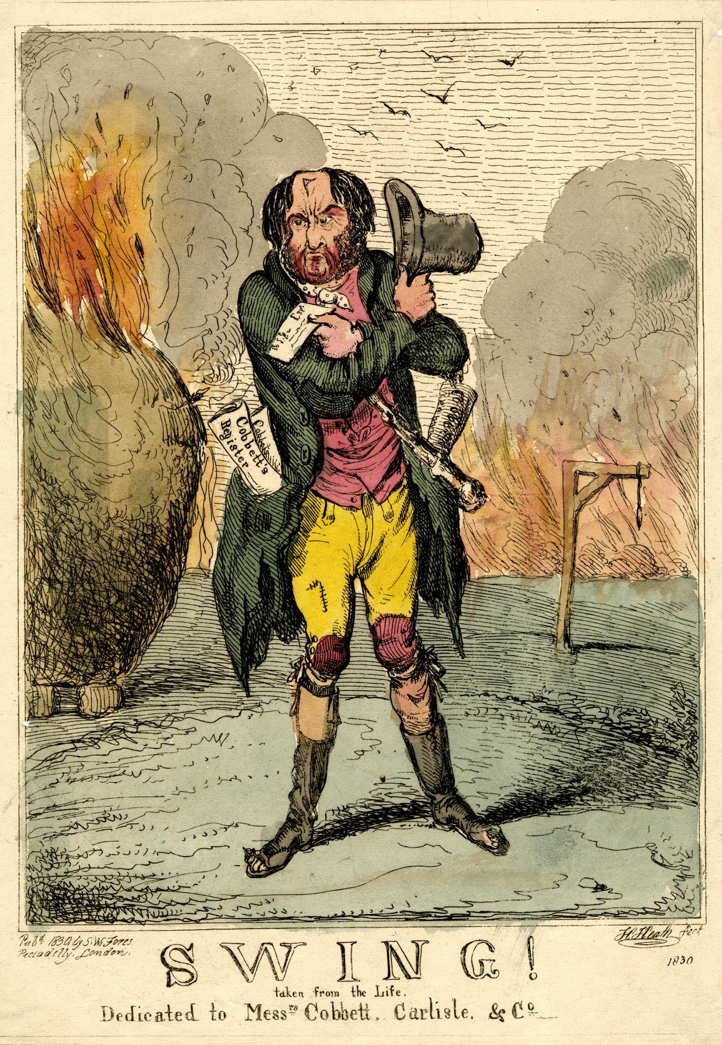
In 1830, the foundry was targeted and badly damaged by anti-machinery rioters during widespread machine wrecking ‘swing riots’ by agricultural workers.
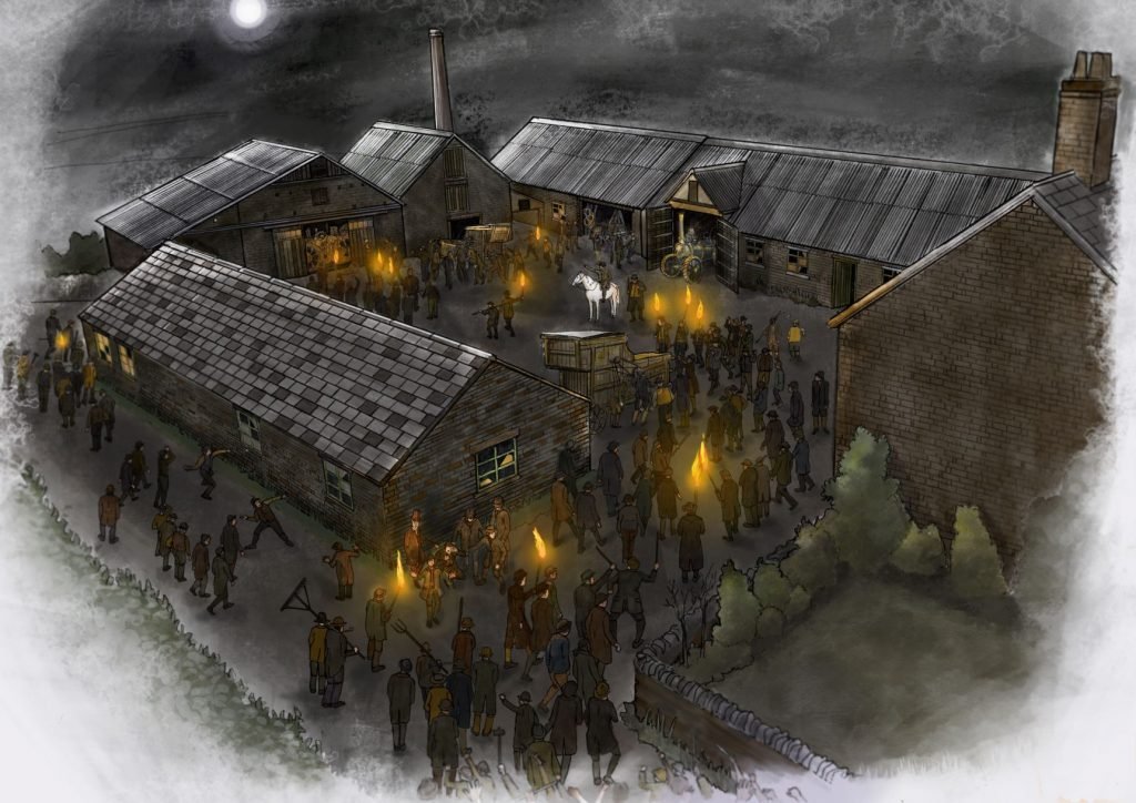
Below you can listen to a dramatisation of the riot at Stuckton Mill.
The foundry business in Stuckton formally closed in 1908 with the Cornish steam engine being removed c1920. The site eventually continued in use as Armfield Agricultural Engineering Company, a supplier of agricultural tools and equipment, in the 1950s.
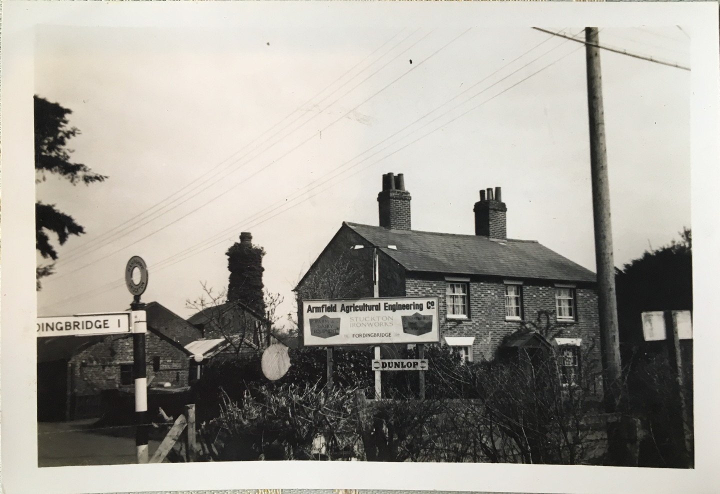
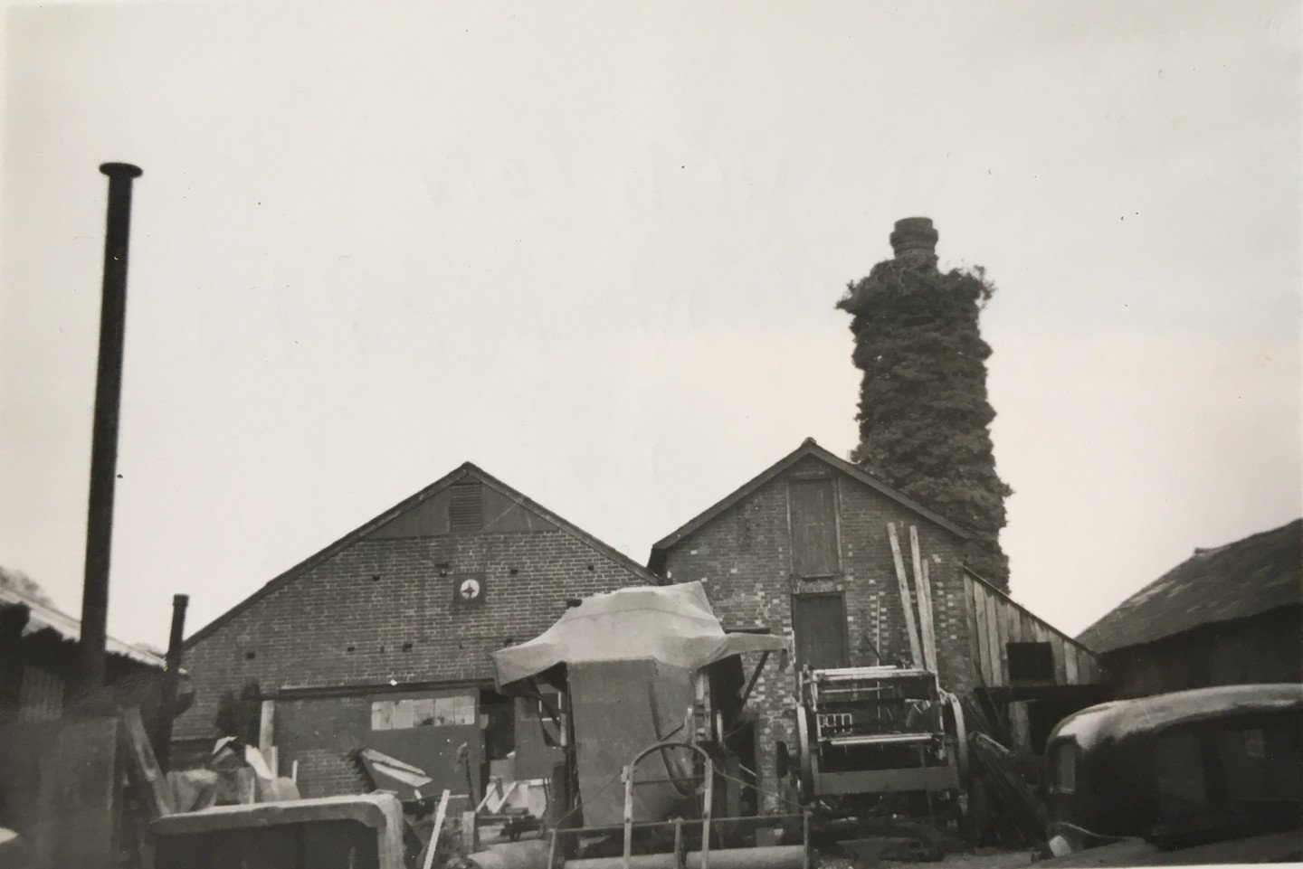
The chimney collapsed in the 1960s and the triangular bricks can be found around the parish as garden features.
3. Stuckton Evangelical Church
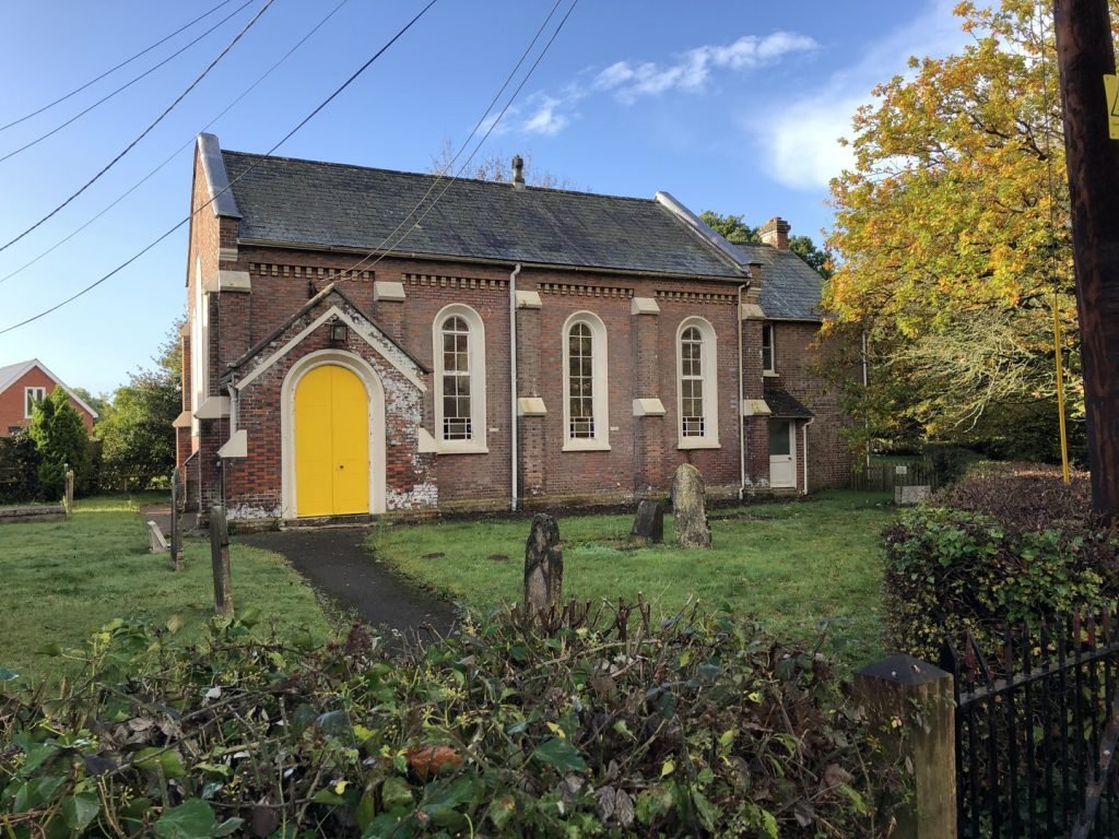
In Hungerford in 1831, preacher Thomas Grant was given land by the then Lord of the Manor to establish a chapel. Some years later the son and inheritor to the estate ignored this gift and evicted Reverend Grant, taking the land to build a new Church of England church and rectory. Rev. Grant, with much public support and donations from ‘every county of England’, as well as a large donation from India, raised enough to purchase this plot of land in Stuckton and build a new Church. The first service was held 16 September 1856 and Rev. Grant is buried in the graveyard.
4. The Merrie Thought
Near Broadhill Woods, is a large arts and crafts house called The Merrie Thought, which was built in the 1930s for Lady Hulse of Breamore and family.
5. Broadhill Lane
Broadhill Lane is visible on maps as far back as Isaac Taylor’s one-inch map of Hampshire, dated 1759. Local folklore suggests this track was a smugglers path, used to carry contraband brought ashore in the south across the Forest to places such as Fordingbridge, which was a major hub of free traders (smugglers) in the late 18th century and was the scene of many battles between local smugglers and customs men.
6. Cob cottage
This small cob cottage, shown on an OS map of 1872, but probably much older, is an example of encroachment, when locals would illegally build on common land, crown land or trackways.
7. Smallpox hospital
Local history sights this area as the location of Blissford Smallpox Hospital, an extensive hospital formed of wooden huts in 1903. It was built with the support of Fordingbridge and the estate owners at a time when there a big smallpox outbreak in the local gypsy population. After the outbreak was contained, the whole field was closed off and it was not until the late 1940s that it was turned back to pasture. Today, this area has more than120 recorded plant species and over 250 fungi and is now recognised as a SINC (Site of Importance for Nature Conservation).
8. Watercress beds
Two watercress beds, on the far side of the stream, are shown on O.S. maps as early as 1897, however, research has found little information about them. Growing of watercress was quite common around Fordingbridge and appears to have started up with the arrival of the railways. Watercress prefers to grow in clear chalk streams, so at first glance are unlikely to have been successful here. However, these beds are close enough to the Dorset Downs to have chalk springs and watercress still grows there today.
9. Traces of the Bronze Age
Bronze Age slag material (a metal byproduct) has been found in this field, which could be an indication that this valley has been occupied for thousands of years. At the top of the path before you turn into the wood, the view across the valley has its own history and you may get a better view of what remains of the watercress beds mentioned above.
10. Avon valley views
This wooded route takes you along the top southern side of the valley, with good views through the trees over the Avon valley. On the southern side of the trail is Deerholt, a private estate.
11. Keepers Cottage
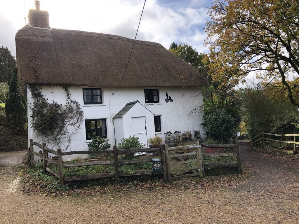
As you emerge at the end of the valley, walk through a small hamlet featuring old thatch cottages including Keepers Cottage, which was built out of cob in the 18th century.
a. Smuggling
Smuggling, the act of secretly bringing legal and illegal items into the country, was widespread in the forest during the 1800s. There are several so-called smugglers routes that snake their way across the Forest from the coast, this being one of them.
b. Old police house
Set back from the road is the old police house, which was occupied into the 1990s by the local beat officer.
c. The Three Lions
Now a restaurant, The Three Lions was listed in 1875 as tenanted by Henry Hockey an inn keeper and grocer.
d. Perambulation
A cattle grid marks the perambulation of the New Forest and stops the free-roaming livestock straying. The name perambulation comes from early boundaries not being defined by a map but by a walk. The perambulation would describe the journey and landmarks along the way. The earliest perambulation of the New Forest dates from 1217-1218, when it described the area to which Forest law applied. The most recent perambulation was defined by the New Forest Act of 1964; this set out the area within which the verderers can exercise their bylaws.
e. Dorset views
This route, visible in an OS map of 1872, has hardly changed and at the top are views of the Avon Valley and across into Dorset.
f. Purlieu
As you walk along this first section of footpath running beside the stream and just within the woods, you are passing the sites of more cottage encroachments, both sides of the footpath. These encroachments were into what was a purlieu area before the 1800s – land owned by the estates which were part of the open Forest but over the last 200 years have been enclosed as farmland.
g. Cider orchard
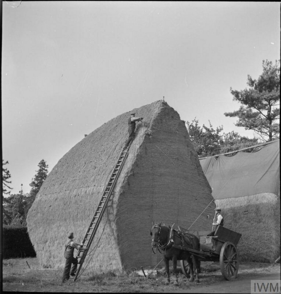
The path continues through a field now covered in scrub known as Orchard Ground which was the site of a cider orchard. There is also a row of very old pollarded oak trees. A local resident recalls their grandfather and father were rick builders here up to WW2.
h. Chase End
There is a mix of houses of different ages and styles along the route, with the oldest being a Grade II Listed thatch cottage on the northern side of the road called Chase End.


