18 March 2026
Lymington Marshes
Lymington Marshes
Walk along the Quayside for river views followed by the coastal marshes of the Lymington-Keyhaven Nature Reserve. This is one of several Rail Trail routes running from Brockenhurst or Lymington railway stations.
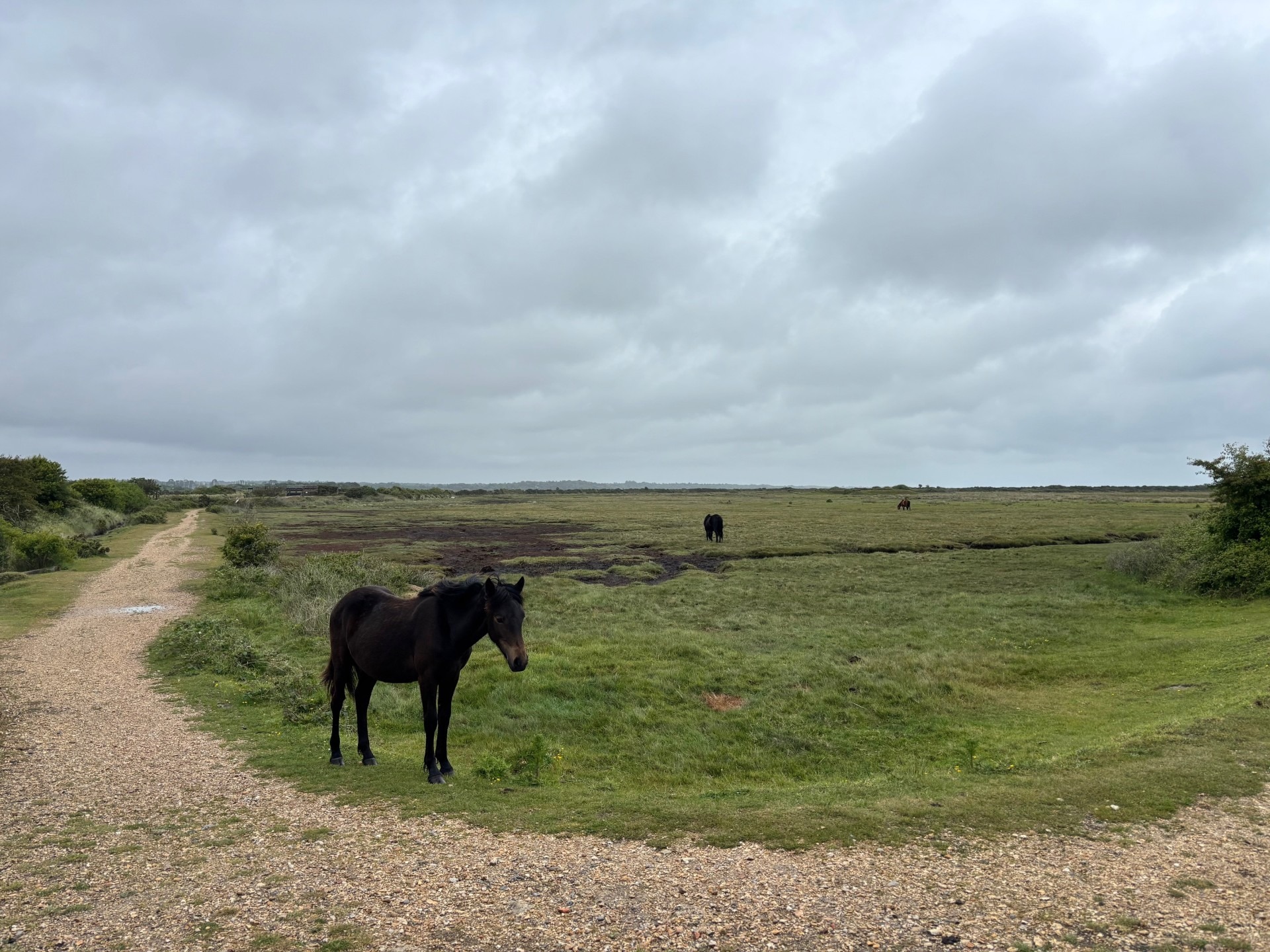
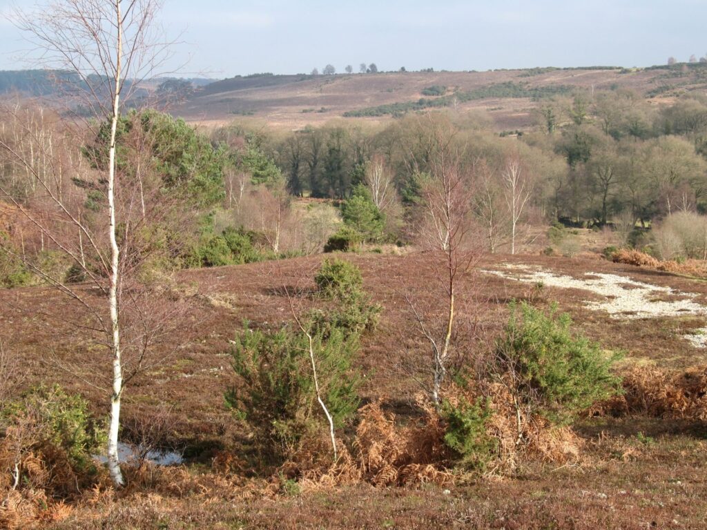
Outside the sea wall the mudflats and saltmarsh are rich feeding and roosting grounds for many bird species. These form part of Hampshire and Isle of Wight Wildlife Trust’s Lymington and Keyhaven Marshes reserve. The winter is when the largest number of wading birds can be seen visiting, including wigeon, redshanks and curlews. In the summer, the salt marshes are important breeding grounds for birds such as terns and gulls. In spring and autumn look out for spoonbills, large white wading birds. You’ll know when you see one – the clue is in the name!
A map of the marshes and further details are available at www.hants.gov.uk/lymington-keyhaven.
Easy
Lymington Marshes
Route
Walk
Length
4.0 miles
Duration
2 hours
Walk details
Start/finish
Lymington Town Railway Station, SO41 9AU
Ordnance survey map
Explorer OL 22 New Forest
Getting there
Take the train from Brockenhurst to Lymington Town
Distance
3.7 miles (6 km)
Duration
1-2 hours
Local facilities
Public toilets in Lymington, near St Barbe Museum. Train and bus transport to start of walk
Accessibility
Easy walk along level ground
Points of interest
Select the points on the map to discover highlights along the route, including scenic views, wildlife spots, and places of local interest.
Directions
Head out of the train station and turn left along Mill lane, passing by Britannia House on your right. At the end of mill lane turn right and follow the narrow back street through to the historic quay side area of Lymington.
Head down the cobbled streets past restaurants and shops onto Quay Road. If you are driving then this is start of your walk. Keep the harbour on your left and walk south down onto Bath Lane and past the large marine broker warehouses.
Bath road opens out as you reach the recreation grounds. Walk through the recreation grounds and into the large Bath Lane Amenity Car Park. Head towards the Lifeboat Station, then follow the sign for Lymginton Sea Water Swimming Baths. This will lead you onto the public footpath which follows the sea wall.
Follow the trail past the sea baths and into the Marina. Walk down the short tarmac road turning right at the small junction. After 30 metres watch out for a narrow trail on the left marked out with cones. This is the route of the public footpath, here long before the Marina was built, and providing free public access through this site. Follow the public footpath out into the greenery of the Lymington Marshes.
Head away from Lymginton enjoying sea views across the Solent to the Isle of Wight. The path winds down past Normandy Marsh and then back around to Eight Acre Pond and the Salterns Sailing Club. At this point leave the sea wall turning right past the bench and down along the narrow path back inland.
Once you reach Maiden Lane keeping going straight ahead and then follow the road as it bends round to the left, past informal parking places. After a short while Maiden lane opens out into a staggered crossroads. Bear right then immediately left following Woodside Lane curving to the left.
Woodside Lane gives way to All Saints Road. Turn left, crossing the road to take advantage of the pavement. Walk up the road, straight over the roundabout and on following what is now Belmore Lane.
Belmore lane heads through leafy suburbs before eventually reaching a busy crossroads at the top of Lymington High Street.
Turn right onto Lymington High Street. There are plenty of shops, pubs, and restaurants to enjoy along the high street. Follow the street all the way downhill. At the bottom look out for the Kings Head Inn and the path down to the Quay Side.
Head down the cobbled street re-joining your previously walked route. The turning back to the train station is just before the bike hire shops so don’t miss it! The car park is straight ahead.

Printable leaflet
You might also like
 Accessible
Lyndhurst Village
 Moderate
Stuckton Iron Works
 Easy
Easy
Rockford Common
 Easy
Easy
Frankenbury Hill Fort
Download our walking app
Our free walking app features points of interest and photographs.