18 March 2026
Buckland Rings
Buckland Rings
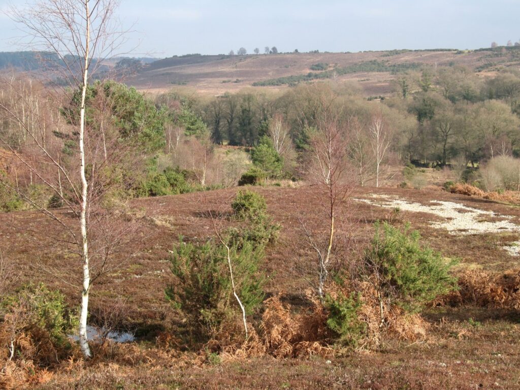
From the village of Brockenhurst this walk passes through Roydon Woods nature reserve over Setley Plain and onto Buckland Rings, the site of a former Iron Age hill fort near Lymington. This is part of the Rail Trail series of walks from the Lymington-Brockenhurst branch line.
Moderate
Buckland Rings
Route
Walk
Length
7.0 miles
Duration
3.5 hours
Walk details
Start
Brockenhurst Railway Station, SO42 7TW
Ordnance Survey map
Explorer OL 22 New Forest
Getting there
Take the mainline to Brockenhurst Railway Station
Distance
6.8 miles (10.9 km)
Duration
2-3 hours
Local facilities
Public toilets in Lymington, near St Barbe Museum. Train and bus transport to start of walk
Accessibility
Moderate walk
Points of interest
Select the points on the map to discover highlights along the route, including scenic views, wildlife spots, and places of local interest.
Directions
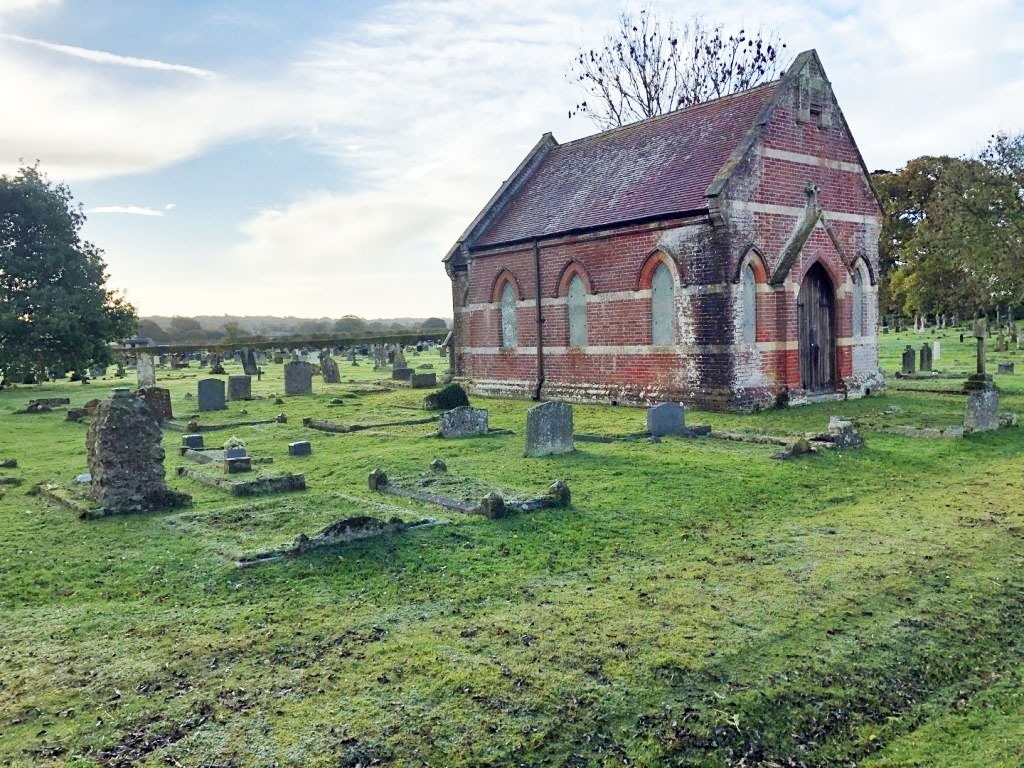
Come out of the train station on the South side and cross the road passing by Mill Lane on your left and continuing along the grassy verge until you reach Church Lane, signed from the road as ‘St Nicholas Parish Church’.
Walk down Church Lane, looking out for the church itself on the left-hand side. The lane gradually bends round to the right and opens out with a farm on the right and fields to the left. Take the track down between the fields, marked as a public bridleway.
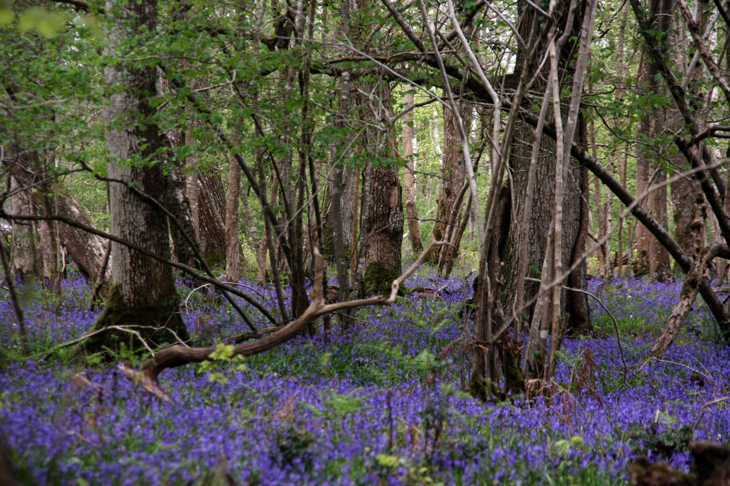
Follow the bridleway south entering Roydon Woods, a National Nature Reserve. Keep following the bridleway straight along until you reach a vehicle track. Turn left and follow that track down through the woodland. Go straight ahead at the next path junction, ignoring the lefthand turn. The path forks soon after that. Take the right-hand fork and the path eventually leaves the forest, opening up into fields. At the signpost keeping going straight ahead and follow the main path into Sandy Down.
Come out the little wooden kissing gate onto Sandy Down Lane. Cross straight over going through another kissing gate opposite. The path heads south, crossing over Lower Sandy Lane and heads down, over a footbridge then up across fields before becoming more enclosed and then reaching the A337.
Turn left through the gate and walk down the verge to the Rosey Lea Tea House. A break here is certainly recommended! To continue the walk, stand at the Rosey Lea sign and peer across the road to locate the small path passing by the North wall of The Well House. The A337 is a busy road so please take care crossing.
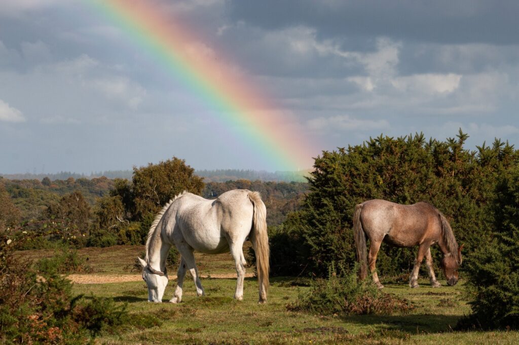
Head along the enclosed footpath until you emerge onto the open grazed lands of the New Forest. Veer right to go round the houses then back left to follow a wide track which goes over the top of the railway line. This track is known as Jealous Lane. Follow Jealous Lane down past houses taking a sharp right directly after the houses.
Jealous Lane ends at Shirley Holms Lane. The route continues ahead bearing right slightly (not straight ahead over the cattlegrid which is someone’s driveway!). Follow the track along past various large houses before joining a public footpath which takes you down towards Mount Pleasant Farm
Leave the farm fields and turn left and Mount Pleasant Lane. Head down the lane for about 10 yards before turning right down a short lane with buildings on the right. Head straight on picking up a public footpath and continuing straight, keeping the garage on your right. After walking through a small wood you appear in fields. Head out of the fields, up to the track and turn left down the track follow the public footpath, known as ‘The Serpentine’.
Keep following the path South, crossing Sway Road and heading towards Lymington. After a lovely walk beside Yaldhurst Copse you’ll hit a small junction. Go right at the junction (not over the small bridge) and keep going straight ahead at the next junction heading through the old farmyard of Buckland Manor Farm.
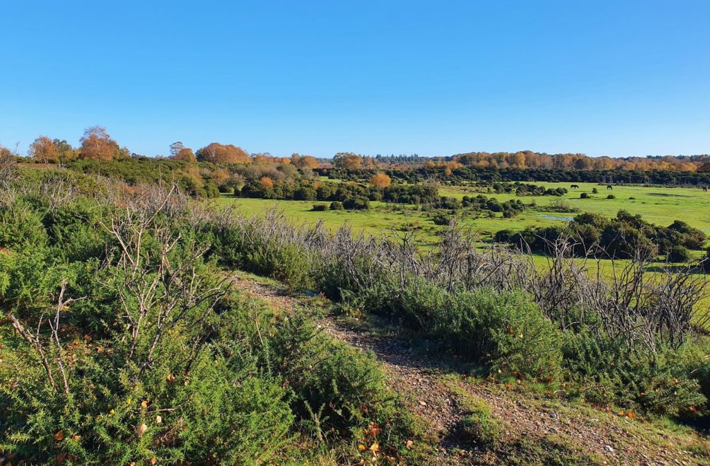
Walk down the lane until you reach Sway Lane again. The wooden kissing gate opposite leads across fields to the Iron Age Hill fort. Please be careful crossing the road as it can be very busy.
New Forest Code
The New Forest code is a unique place with rare wildlife and free-roaming livestock. Help us care for this special place by following the simple New Forest Code.
New Forest CodePrintable leaflet
You might also like
 Accessible
Lyndhurst Village
 Moderate
Stuckton Iron Works
 Easy
Easy
Rockford Common
 Easy
Easy
Frankenbury Hill Fort
Download our walking app
Our free walking app features points of interest and photographs.