18 March 2026
Brockenhurst Village
Brockenhurst Village
A picturesque village in the heart of the New Forest surrounded by some of the loveliest Forest landscapes.
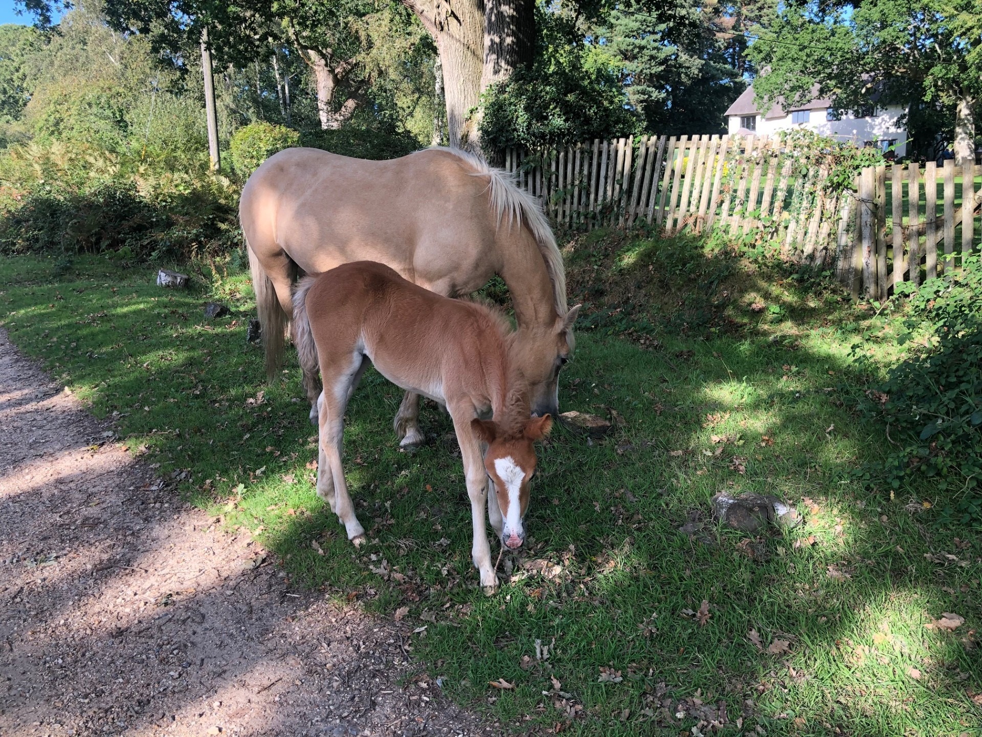
This varied walk takes you across grazed lawns and through riverside woodlands before skirting around the edge of the village to take in some great heathland views. Return through the village to Brockenhurst station. The village is named after a Saxon manor known as Broceste in the Domesday Book. It’s also traditionally said to mean ‘badger hill wood’, although ‘broken wooded hill’ might be more likely, as the area is divided by many streams. The main street is along Brookley Road where ponies and donkeys often wonder through the shopping area, and at the western end of the road is a famous ford called the watersplash. Here where the North and South weirs meet, the stream can be a gentle trickle or impassable torrent after heavy rain.
Easy
Brockenhurst Village
Route
Walk
Length
5.0 miles
Duration
2.5 hours
Walk details
Start/finish
Brockenhurst railway station Grid ref. SU 301 019 Post code SO42 7TW
Ordnance survey map
Explorer OL 22 New Forest
Getting there
Brockenhurst railway station, New Forest Tour green and blue route (summer only), Bluestar bus route 6 – Lymington to Southampton
Distance
5 miles (8.1 km)
Duration
2-3 hours
Local facilities
Public parking and toilets, pubs, cafes, banks and shops in Brockenhurst village.
Accessibility
Easy walking with a few gentle gradients. Two gates and four road crossings. Woodland tracks can be muddy
Points of interest
Select the points on the map to discover highlights along the route, including scenic views, wildlife spots, and places of local interest.
Directions
If starting from Brockenhurst rail station, exit by the ticket office and follow the marked pedestrian route on your right though the car park to the road junction and level crossing. Turn left and carefully cross the entrance road to the station to join the pavement ahead that follows alongside Brookley Road and takes you directly into Brockenhurst village.
Cross over the watersplash via the footbridge and turn right onto Rhinefield Road. Follow the pavement past houses and alongside the stream.
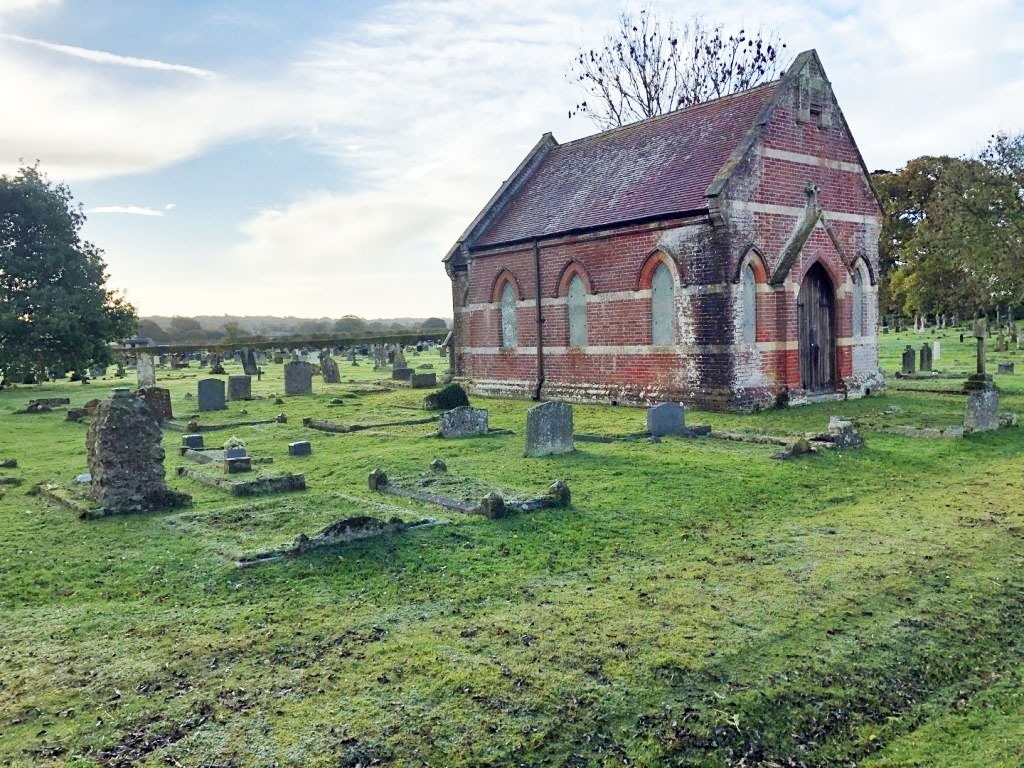
Continue past St Anne’s Catholic Church and along gravel sections of the path to where the path splits near the road junction. Take the gravel path on your right and cross over Meerut Road to join the gravel track straight ahead across the open grassy lawn.
Continue ahead along the gravel path, crossing over two wooden footbridges, and past the edge of Brockenhurst allotments. Where the path ends near the woodland edge, join a track on your right and follow this to join the gravel cycle track at waymarker post 264.
Turn right and follow the gravel track for 100m to Bolderford Bridge.
Return to cycle waymarker 264, and follow the gravel track alongside the open lawn. Continue straight ahead at cycle waymarker 265, past a low wooden barrier and Ober Corner car park, to join the single track road through woodland to cycle waymarker 266. Turn right through the entrance to Aldridge Hill campsite and over Ober Water.
Follow the wide gravel track to Aldridge Hill cottage which overlooks Ober Heath, and follow the track as it bends left past the cottage onto a wide grassy track. Take your next left to join the woodland path by a small cast-iron tombstone. This is an old Victorian boundary marker for Alderidge Hill Inclosure which was first inclosed in 1775.
Follow the woodland path straight ahead to meet Ober Water. Turn right and follow alongside the river and past a wooden bridge on your left to join a waymarked footpath. Wooden posts (red band) mark the route through mixed woodland. Look for the low boundary banks which mark the edge of the Forest inclosure.
Turn left and cross the next wooden bridge over the river, leaving the woodland, and follow the gravel path across a short section of wet heath towards the grassy lawn ahead.
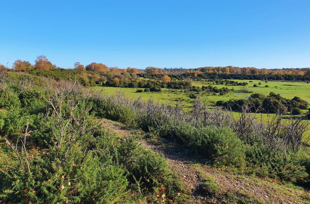
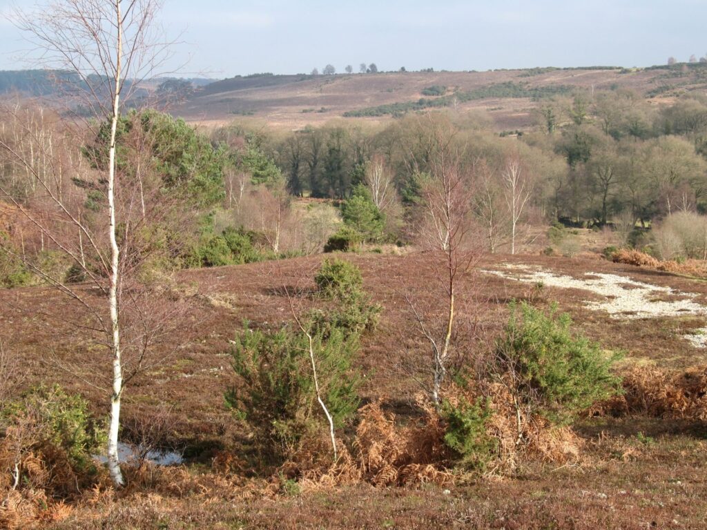
Turn left at the wooden waymarker post (yellow band) where the gravel path ends at a gap in the hedge line and follow along the edge of the lawn keeping the tree and hedge line on your left. There is a small wet flush to cross, which you can detour by crossing on higher ground. As you rise out of the dip onto the higher lawn there are good views across Whitefield Moor and Wilverley Plain to the south-west in the distance. Continue following the lawn edge and wooden waymarker posts (red band).
As the path bends right, turn left onto a narrow gravel path for 10m and then turn right onto a wide gravel track to re-join the road (from Ober Water car park) at cycle waymarker 239. Turn right and follow the road as it bends left around the corner and continue ahead past a low wooden barrier and Beechern Wood car park to the road junction and cycle waymarker 237.
Carefully cross over the road and take your next left at cycle waymarker 236 onto a gravel cycle track down through North Weirs. At the road junction take the gravel path on your left to follow alongside and then re-join Sway Road.
At this point carefully cross the road to a bench and cycle waymarker 234, opposite Armstrong Lane. Follow the gravel path through a pretty section of meadow and cross over two small bridges to Brockenhurst Primary School.
Continue past the school to the pedestrian crossing and cross over the road. Turn left and follow the pavement for 40m and turn right through a metal gate by a footpath waymarker and follow the narrow path between properties. Go through the gate where the path ends and turn left to join a road that runs alongside the western edge of the station. Go through a wooden gate on your right and down steps into the station car park and ticket office entrance.

Printable leaflet
You might also like
 Accessible
Lyndhurst Village
 Moderate
Stuckton Iron Works
 Easy
Easy
Rockford Common
 Easy
Easy
Frankenbury Hill Fort
Download our walking app
Our free walking app features points of interest and photographs.