

Wiltshire to the New Forest
Wiltshire to the New Forest
This ride starts in Downton, Wiltshire, and follows the by-ways to Nomansland in the New Forest
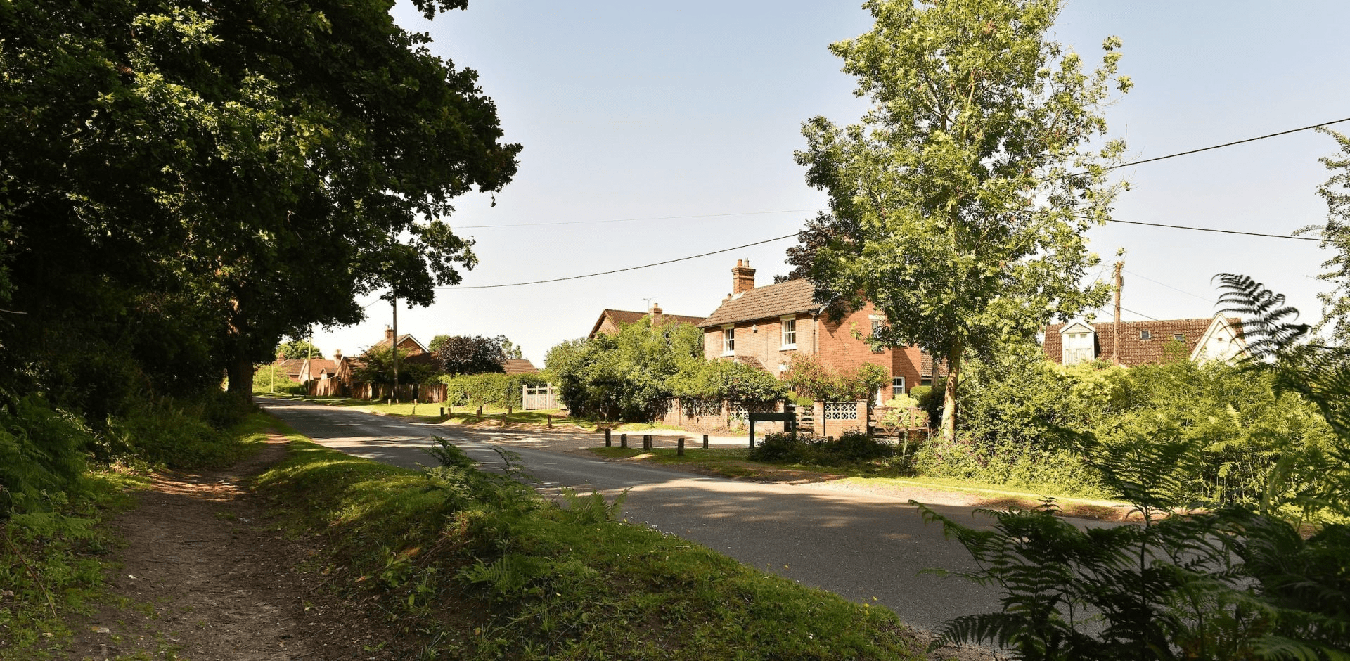
Downton Village is an ancient Wiltshire village straddling the River Avon on the outskirts of the New Forest National Park. People have lived in Downton for over 7,000 years. Evidence of Iron Age, Roman and Saxon settlements has been found. Today the village has a thriving community with local amenities and plenty of charm. This route has a few hill climbs, but a rewarding lunch in Nomansland awaits!
Overview
Start/Finish
Starts at Downton Village Centre. Grid ref. SU175215. Postcode SP5 3LZ. Finishes at Nomansland Village. Grid ref. SU253173. Postcode SP5 2DB.
Ordnance Survey map
Ordnance Survey map
Getting there
Carriage of bikes is generally not permissible on service buses. If intending to walk the route, take the Salisbury Reds X3 from Salisbury or Bournemouth to Downton
Distance
6.8 miles (11 km)
Duration
1-2 hours
Local facilities
Both Downton and Nomansland have a variety of options for food and drinks, however there are no public toilets in either village.
Accessibility
Waymarked by-ways and a few well surfaced roads.
Percentage off-road for cycling:
60 per cent off-road, 40 per cent roads.
Directions
Starting from the centre of Downton village near the Borough Café, head through the village towards a bridge over the River Avon.
As the road bends around past Downton Library head straight up the hill towards a set of traffic lights.
At the traffic lights follow the blue cycle way sign to the New Forest on the right. This is a right turning half way between the controlled traffic lights up Slab Lane. Take care up the steep hill.
At the top of the hill keep following the narrow road.
As you head back downhill keep following the main road around to the right at the fork.
Continue up another hill and into Woodfalls.
At the T-junction opposite the village shop take a right onto the Ridge Road then follow the road through the village.
As you get to the end of the straight road near the park, where the road bends around to the left, take the first left towards Lover down Whiteshoot Hill.
Follow the long hill down into Lover and continue straight along School Road.
At the T-junction, shortly after the garage on the right, take a right. Then take the first right onto Black Lane.
Black lane peters out into a gravel by-way. Continue straight on.
When you reach the concrete blocks that are in the way, take a right to continue along the by-way.
Follow this track straight until you meet Lyburn Road.
Take a right onto Lyburn Road.
Follow the road up the hill and into Nomansland.