

Redbridge to Lyndhurst
Redbridge to Lyndhurst
From Southampton straight into the National Park, cycle along shared paths and quiet residential streets
You can use the well-signposted National Cycle Network 236 signs from the city centre to Redbridge causeway. From Redbridge, the blue cycleway signs towards the Forest display the National Park logo which you can follow all the way to Lyndhurst. This route largely uses shared-use paths and quieter residential streets; it is suitable for all types of bike.
Route Details
Start/finish
Redbridge Roundabout. Postcode SO15 0NF to Lyndhurst
Ordnance Survey Map
Explorer OL 22 New Forest
Getting there
Redbridge Railway Station nearby
Distance
Approximately 5 miles (8km)
Duration
30 minutes
Local Facilities
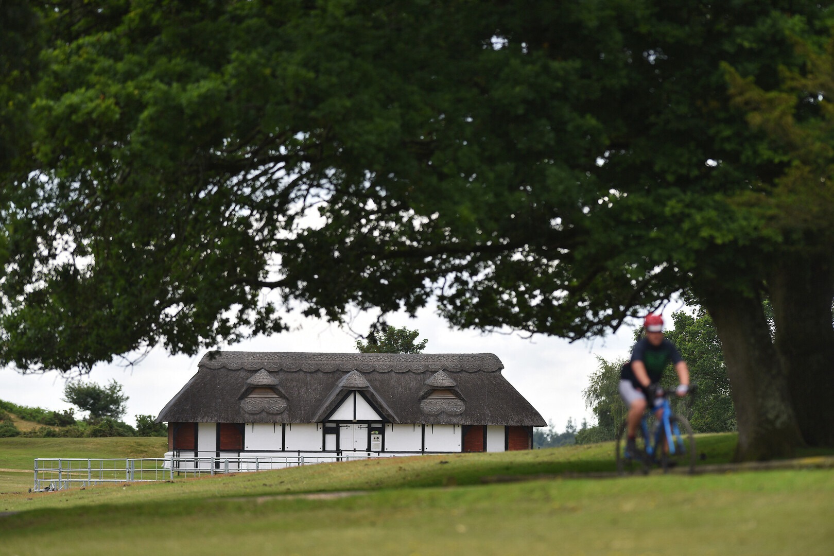
There are public toilets and bike racks next to the New Forest Heritage Centre in Lyndhurst. Stop at the Centre (free entry) to learn about the New Forest. There are plenty of cafes, pubs, restaurants, shops and banks in Lyndhurst
Accessibility
Well surfaced minor roads and shared-use paths
Percentage off-road for cycling
All on minor roads and shared-use paths
Directions
Find your way to Redbridge Roundabout using the Southampton Cycle Map or the MyJourney online journey planner.
Join a shared-use path that runs from the roundabout past the Nissan garage and alongside Redbridge Causeway over the River Test. This route mainly follows NCN 236 so keep an eye out for the blue cycle signs with a red 236 box that will help you follow the route.
Take a left fork up the ramp after crossing the river.
Continue straight on the shared-use path being careful of any joining roads.
At a sign pointing down a slope towards Eling and Marchwood, continue straight ahead beside the main road.
Continue along the shared path, being careful of joining roads, until you reach a toucan crossing that will help you cross the A35.
After crossing, turn left and follow shared route across a minor road, around a roundabout. Take the next right onto Rushington Lane.
Continue along road and over the railway.
Turn right onto a shared-use path immediately after crossing railway bridge (Buttercup Walk).
Turn left continuing along the shared-use path and cross over Penhale Way and take left fork.
Remain on the shared-use path as it runs along Ibbotson Way crossing Surrey Close.
As the shared cycle way you are on meets another that intersects the road, take a right turn.
After crossing Denbigh Close and passing through a tunnel, rejoin the road (Foxhills) and continue straight on.
Continue straight at a give way sign and follow the main road around to left.
Turn right onto Ashdene Road and follow it as it curves left.
Turn right onto Fir Road.
Turn right onto the shared-use path running alongside the A35. Continue straight on crossing Ash Road and over the railway bridge.
Cross Woodlands Road and continue straight on shared-use path.
Continue straight along the shared-use path, being careful of minor junctions.
Follow the shared path all the way to outskirts of Lyndhurst. The main shared path ends here. We recommend dismounting and walking past the Post Office and car garage up the High Street. Using the crossing, access the Visitor Information Centre.