

Northern Forest Circular
Northern Forest Circular
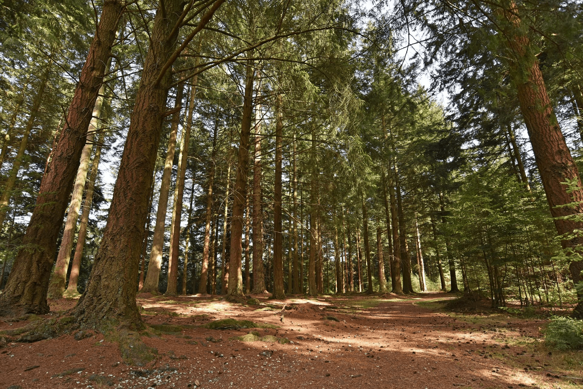
Take in beautiful views of rolling hills, heathland and woodland in the north of the Forest
This cycle ride has outstanding views throughout. From the top of ridges to the bottom of valleys, the northern New Forest has the most open and impressive views in the National Park. On this route you will pass the Grand Slam bomb test site. The largest bomb ever dropped by the British on British soil was tested ‘live’ for the first time in the New Forest at Ashley Walk Bombing Range on 13 March 1945. The crater today is hard to see as it has been filled in and covered with vegetation, but it is easy to spot a number of other bomb craters in the area. Find out more at www.newforestheritage.org.
Overview
Start/finish
Appleslade Bottom car park. Grid ref: SU183093, Postcode BH24 3QT
Ordnance Survey map
Explorer OL 22 New Forest
Getting there
No public transport, parking at Appleslade Bottom car park
Distance
17.8 miles (28.6 km)
Duration
More than 3 hours
Local facilities
Red Shoot camping park is en-route open from and is open March to September. There is a tea room in Hyde attached to a garden shop. A pub called the Foresters Arms in Frogham. The Red Shoot Inn at Linwood and The Royal Oak in Fritham. There are no public toilets on this cycle.
Accessibility
Off-road dedicated cycle tracks and well surfaced minor roads.
Percentage off-road for cycling
40 per cent off-road tracks, 60 per cent on road
Directions
Exit Appleslade Bottom car park and take a right at the main road.
At waymarker 45, take a left towards the Red Shoot Inn and Red Shoot Campsite. Follow the road round to the left and downhill until a ford where the track turns to gravel.
Shortly after the gravel track begins, there is a split in the track. Take the left-hand fork.
Continue straight on at waymarker 44 past a small collection of buildings. The track splits again at waymarker 43, take the left fork.
Continue following the track past a few more buildings and waymarker 42. On a right-hand bend there is waymarker 41, take a left past a low wooden gate.
Continue on the track and through a gate at waymarker 40.
At waymarker 38 go through another gate.
As you pass waymarker 37 bear around to the left.
Take a right around the bend at the waymarker 36 crossroads, then head through an open gate at waymarker 54 and up a hill.
Bear around left following the track at waymarker 53 as the heathland opens out.
At waymarker 52, turn left onto the minor road and continue straight on.
Caution: the road is quite narrow here.
At the next junction take a left towards Stoney Cross and Fritham.
Continue along this road for a long while past waymarkers 56 and 55, then along a straight section of road that used to be a runway in WWII at Stoney Cross Airfield. At the T-junction at the end of the long straight, take a left towards Fritham.
Pass waymarker 33 on your left and Janesmoor Pond car park on the right. After passing two entrances to Janesmoor Pond car park on your right, a few hundred meters on the left is a tarmaced road into Fritham, take this left.
Follow the road into the village.
Caution: the road narrows downhill. At the next T-junction by some barns and waymarker 18, take a left.
Follow the road straight ahead until you reach Fritham car park at waymarker 15. There is a right turning through a low green gate. Go through the gate at waymarker 14 onto the cycle network.
Follow the cycle track down a long hill. Continue on this track for a while passing waymarker 13.
Continue on past waymarkers 12 and 11.
Caution: at waymarker 10 there is a steep uphill section to climb. Take care here and good luck. This is one of the steepest hills to cycle in the Forest!
At the top take a break at waymarker 9. If you walk along the track to the right a few paces you can see an old WWII bunker that was used during fragment bomb testing.
Continue along the cycle track until waymarker 8. Enjoy the great views as the Forest opens out to heathland.
Take the left fork at waymarker 8. Shortly after to the right there is a distinct mound. If you walk to the top of it you can see some of the WWII bomb craters tested at Ashley Walk Bombing Range.
Continuing along the cycle track keep an eye out on the left for the WWII concrete arrow used to point towards an illuminated bombing target. The arrow is a little tricky to spot, if you see a trig point to the right you have missed it. The best way to find it is to look for a walking path leading down the hill shortly before it appears.
Continue along the track past waymarkers 7 through to 4.
At waymarker 4 join the quiet road and head uphill along Abbots Well Road towards Frogham.
Take the left turn shortly after the Foresters Arms (not the turning opposite) down Blissford Hill.
At Hyde Primary school, with the village green on your right, take a left turn down Gorley Lynch.
Continue over a crossroads and past Hyde Garden Shop, there is a tea room here.
As the road bends round to the left take care on the sharp bend.
Continue into the valley and follow the road as it bends around to the right, over a small bridge and then take a right at the crossroads towards Gorley.
Enjoy following the bubbling Huckles Brook beside the road for some time.
Eventually you will pass a village green triangle in South Gorley, continue on the road around to the left there, following a sign towards Ringwood.
Continue along this road for a while over any junctions until you can see Moyles Court School on your right.
Caution: there is a ford to cross here.
After you cross the ford, follow the road to the left as it forks. Then at the T-junction turn left.
Follow this road for a long while through the valley until you reach Linwood.
Appleslade car park is on the right.