

Hythe to Brockenhurst
Hythe to Brockenhurst
Cross the water to cycle through open heathland and woodland inclosures
Use the Hythe Ferry from Town Quay, Southampton to travel to the Waterside market town of Hythe, from here the route enters the National Park. This route is signposted as National Cycle Network Route 2. It uses a mixture of shared-use routes, a longer section of on-road cycling across the open heathland, and then finishes on the off-road gravel tracks. The route is suitable for mountain bikes and hybrids, but it is not suited to road bikes.
Route Details
Start/finish
Southampton Town Quay. Postcode SO14 2AQ to Brockenhurst Village
Ordnance Survey Map
Explorer OL 22 New Forest
Getting There
Southampton Central Railway Station nearby
Distance
Approximately 12.5 miles (20km)
Duration
1 hour
Local Facilities
Public toilets, bike racks, pubs, cafes, banks and shops are available in Brockenhurst village
Accessibility
Off-road cycling on gravel tracks, well surfaced minor roads. Gradual incline from Ipley crossroads to Beaulieu Road Station
Percentage off-road for cycling
30 per cent off-road, 70 per cent minor roads
Directions
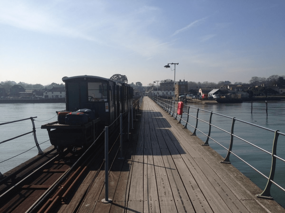
Catch the Ferry from Southampton to Hythe.
This route mainly follows the NCN 2, so keep an eye out for blue cycle signs with a red 2 box that will help you follow the route.
Leave the ferry terminal and turn left onto Pylewell Lane, then turn right onto the contraflow marked cycle lane.
Follow the road around to the right onto School Road, and over a railway track.
Turn right into Southampton Road and use toucan crossing on the left to access the shared-use path.
Rejoin the road, cross over Hollybank Road and rejoin the shared-use path on the right that runs along Southampton Road.
Cross over two roads and continue along the shared-use path.
Continue onto access road then rejoin shared-use path bearing left along Claypits lane.
Continue along shared-use path and use the offset crossing to cross the roundabout. Continue along Claypits Lane.
Continue along the shared-use path and cross to the other side of Claypits Road when indicated.
Cross Vaughan Road and keep to the right to use crossing for Cumberland Way. Turn right and continue on the shared-use path.
Cross Cabot Drive and remain on shared-use path, bearing left, skirt a roundabout before rejoining the road.
Turn right to rejoin shared-use path towards the roundabout as road bears left.
Using the crossing refuges on Sizer Way and Hythe Bypass, navigate around the roundabout anticlockwise taking the 3rd exit towards the New Forest. Rejoin the road and cross over the cattle grid. You are now in the New Forest.
Follow the road and cross straight over at Ipley crossroads. Take care at the junction.
Continue straight along the road passing Ferny Crofts campsite and Yew Tree Heath car park.
Turn right towards Beaulieu Road and cross over the railway bridge.
Turn left into Denny Wood campsite and follow the road through campsite. You are now on the New Forest off-road cycle network. The cycle network is clearly signed showing which gravel tracks you can use.
At the end of the paved road, turn left at the fork (waymarker 297).
Continue straight through the gate at Denny Lodge (waymarker 299).
Continue straight on at waymarkers 301 and 300.
Continue straight on at waymarker 324.
Continue straight at gate waymarked 325 and cross over a rail bridge.
At the next gate (waymarker 326), continue straight ahead.
Take the next signed right turn (waymarker 327), and pass through gate.
Continue straight at waymarker 308.
Pass through a gate and then turn right onto the main road (waymarker 311). Beware as you are now cycling with cars once again.
Turn left into Mill Lane.
Cycle to the end of the road with the train station car park directly opposite. Turn right (very busy junction, you may want to dismount). Cross over level crossing then bear left down Brookley Road into the centre of Brockenhurst.
