

Brockenhurst to Lyndhurst Circular
Brockenhurst to Lyndhurst Circular
Starting from the village of Brockenhurst, this cycle ride travels through beautiful New Forest woodland and open landscape
The opportunity to stop halfway in Lyndhurst is highly recommended. Take time to look around the New Forest Centre and learn all about the area’s unique landscape and history. The village is also an excellent place for refreshments and gift shopping. One of the key points on this route is Bolderford Bridge, which is situated close to a settlement identified in the Doomsday Book as Barreford. This shrunken, and eventually deserted, settlement boasted the Queen Bower hunting lodge and deer park when it was owned by the crown in 1484. Today, New Park exists where the deer park was located, it hosts the annual New Forest Show held over 3 days every July. Deer can be still be seen roaming in the surrounding areas today.
Overview
Start
Brockenhurst Railway Station. Grid ref. SU301020. Postcode SO42 7TW
Ordnance Survey map
Explorer OL 22 New Forest
Getting there
New Forest Tour green and blue routes (summer only) or Brockenhurst Railway Station
Distance
10.9 miles (17.5 km)
Duration
2-3 hours
Local facilities
The cycle ride passes through two villages, both with plenty of places to eat and drink. There are public toilets in the centre of Brockenhurst and next to the New Forest Centre in Lyndhurst.
Accessibility
Predominantly gravel cycle tracks and a few well surfaced minor roads.
Percentage off-road for cycling
90 per cent off-road, 10 per cent minor roads
Directions
Starting at Brockenhurst Railway Station on the ticket office side, leave by the main entrance and take a left onto the A337.
Caution: there is a slightly blind corner onto the road.
After passing Brockenhurst College and Careys Manor Hotel on your right, take the next right onto Balmer Lawn Road, towards Balmer Lawn Hotel.
Follow the road until it bends round to the right. Here at the fork, carry straight ahead onto an off-road gravel track leading towards Tilery Road car park.
Following this track, as it bends round to the left (waymarker 292) continue around and up towards Standing Hat car park.
Ignoring the right turning before the gate, go through the gate and take the track on the right (waymarkers 291 & 290).
Continue along this track (waymarker 289) for a while around a left and right bend.
At the intersection, take a left (waymarker 287) and continue gradually uphill, then downhill until a T-junction.
At this T-junction (waymarker 286), take a right turn and continue a short distance to the next waymarker.
Take a left at the next junction (by the frohawk walk, waymarker 258) and continue along the track (waymarker 284).
At the crest of a hill, take the right at the T-junction (waymarker 283). This continues until a gate. Go through and carry on the track around to the left (waymarkers 282 & 281).
This track continues for a while in a predominantly straight direction, up and down a few hills (waymarkers 280, 270 and 269).
After a long downhill section the path ends at a gate and turns into a minor road (waymarker 268). Follow this minor road to the end and take a right onto the A337 (waymarker 267).
Caution: this can be a busy road. During busy times it may be safer to dismount to cross the road and then restart your ride from the other side.
Following the A337 towards Lyndhurst, as you round the corner stay in the left-hand lane. Take a left at the junction (heading west) along another quiet road.
Along this road there is a left turning towards Bank. Take this road and follow it all the way until it peters out at a gravel track. You should see a gate on your left, opposite a house.
Go through this gate to continue back on the off-road cycle network (waymarker 259).
Cycle on the off-road gravel track for a while without a waymarker. There is another gate to go through (unmarked) that is shortly followed by a clearing with heathland on both sides.
When the track splits at a triangle (waymarker 258), take the left-hand fork to go through a gate.
Continue along the track (waymarker 260), you are heading back towards Brockenhurst.
At the next gate (waymarker 261), go through and continue on the track until a T-junction where you take a right turn (waymarker 262).
There is another gate to go through (waymarker 263).
The gravel track crosses the Lymington River and follows the edge of Black Knowl crownland (waymarker 264). The gravel track ends at a minor road (waymarker 265).
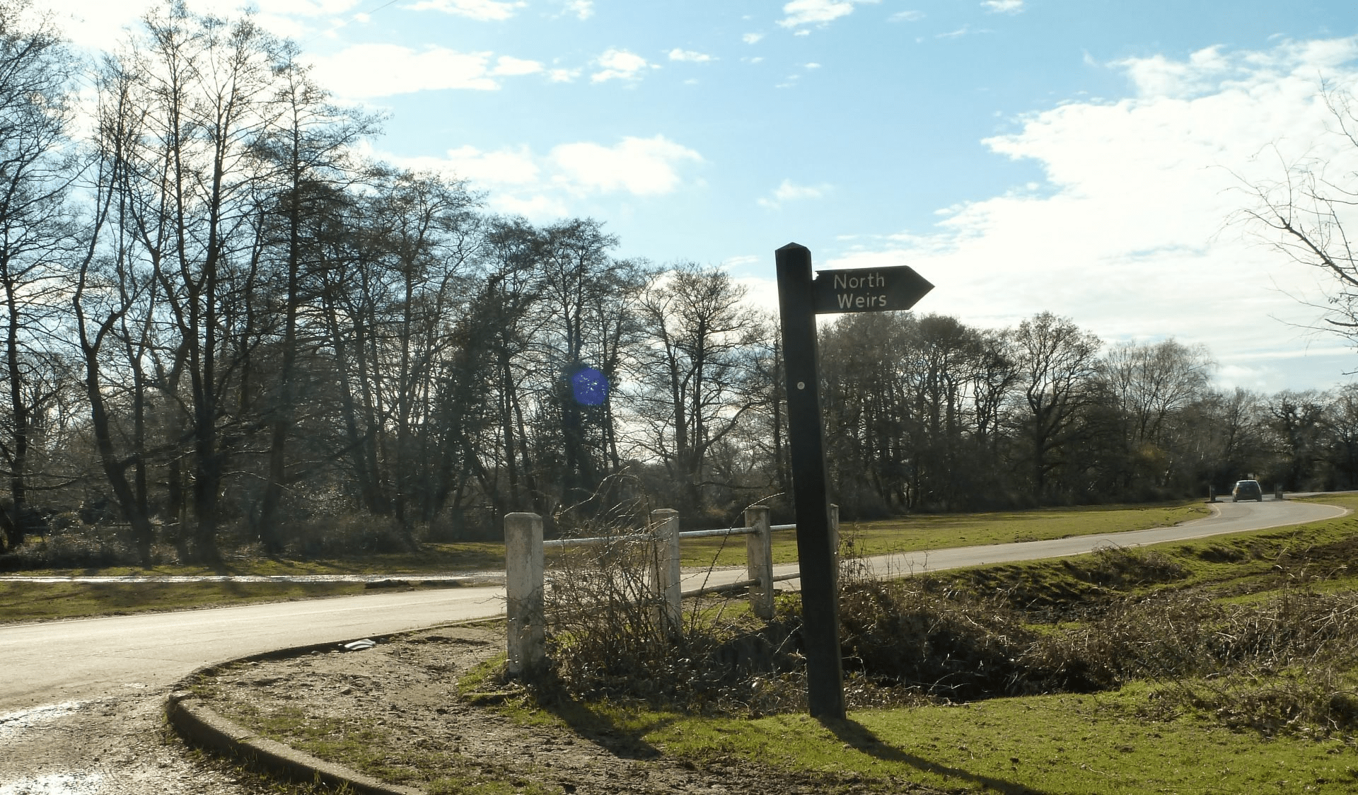
Take a right-hand turn, followed by a left, to proceed on a gravel track around the edge of North Weirs.
Take a left-hand turn.
Turn right and follow the road through Brockenhurst, before turning hard right at the junction with the A337 into Brockenhurst Railway car park.