

Beaulieu to Brockenhurst
Beaulieu to Brockenhurst
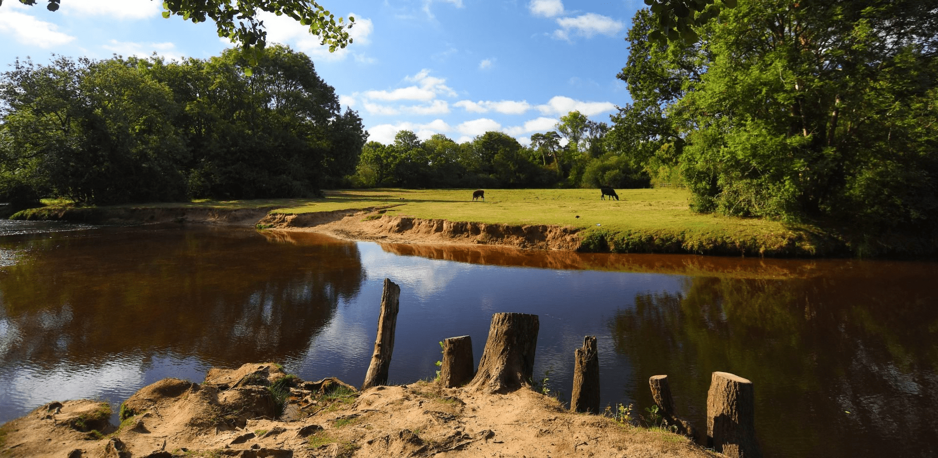
This ride takes you through majestic heathland with great open views over the WWII airfield
Begin your ride in Beaulieu Village, which is situated at the head of the Beaulieu River. The village dates back to the 13th century when the village grew up around the abbey. Following Henry VIII’s dissolution of the monasteries in the 1530s, Beaulieu passed into ownership of present Lord Montagu’s ancestors and has remained with the family ever since. On the return leg, the ride winds through woodland. As an alternative it is possible to start at Brockenhurst for sustainable transport access.
Overview
Start/finish
Beaulieu High Street. Grid ref. SU386021. Postcode SU387022
Ordnance Survey map
Explorer OL 22 New Forest
Getting there
Parking is available in Beaulieu village car park. To arrive by train or bus, start at Brockenhurst instead.
Distance
16.3 miles (26.2 km)
Duration
More than 3 hours
Local facilities
Cycle hire is available from Cycle Experience in Brockenhurst www.cyclex.co.uk and New Forest Activities in Bueaulieu www.newforestactivities.co.uk
Accessibility
Waymarked by-ways, off–road cycle tracks and well surfaced roads.
Percentage off-road for cycling
50 per cent off-road, 50 per cent roads.
Directions
Starting on the high street in Beaulieu, with the Montague Arms Hotel on your right, look for Fire Station Lane near the bridge over the river. This leads towards the Solent Way footpath.
Continue up along the road and continue as it turns into a gravel track. Go through a gate and follow the Solent Way towards Buckler’s Hard. Take care on the shared use path and give way to other users.
As you approach Baileys Hard, where you will see New Forest Activities on the right, continue along the main track and up the hill as it bears around to the right. (Do not turn left to follow a footpath towards Bucklers Hard).
At the top of this track take a right onto the minor road.
At the junction with the white signpost, take a left onto Lodge Lane, heading towards East Boldre.
Follow Lodge Lane around the church bend. At the top of the hill take a sharp right to come back on yourself.
Continue along Cripple Gate Lane and take the second right, at a T-junction onto East Boldre Road.
Follow East Boldre Lane around to the left and take a left onto the B3054.
Take the second right off the B3054 into Beaulieu Heath car park.
Take a right at the first gravel T-junction, as the track splits head right, not towards the model plane car park, follow the track around to a low gate at waymarker 321.
At the T-junction, waymarker 319, continue straight along the paved section of the old airfield and follow it around a left hand turn. This used to be a taxi way for the aircraft.
Caution: after heavy rain standing water can be present on the airfield.
Where the tarmac turns to gravel take a right at waymarker 318. The path continuing straight on is a footpath only. Look out for the concrete patch that used to be a hangar on your right.
After a short distance on the gravel track there is a junction at waymarker 317, take a left here. This can be easy to miss so keep an eye out. If you end up at a road you have gone too far and will have to double back on yourself. Be careful not to turn left before this waymarker as there is another track.
Follow this path over broken concrete until you reach the back of Roundhill Campsite at waymarker 316. Pass the gate and continue to the left along the outskirts of the campsite on the road.
Follow the road around a bend at waymarker 315 and continue towards the campsite reception past waymarker 314.
At waymarker 313, take a left onto the B3055. Follow the B3055 past Mill Lane and under the railway bridge.
As you pass houses, take a right turn onto a gravel track that goes right, almost back towards yourself. This is marked by waymarker 293. Take care as cars are often parked at the start of the track and it requires crossing the road.
Continue along the gravel track past a car park on the left. As the track splits follow it around to the left at waymarker 292.
At the gate, waymarker 290, go through and take the right track, waymarker 289.
Continue along following the track around to the left at the end of the straight section. At the cross roads, continue straight over at waymarker 287.
Follow the track round and through two gates, then take a right at the next T-junction onto the National Cycle Network #2.
Head over the next crossroads at waymarker 324, through a gate at waymaker 325 and over the railway bridge.
At the low gate, waymarker 326, take a left over the cattle grid.
Follow the track passing waymarker 329 and talking a right turn at waymarker 330.
Head up the hill and through the gate at the top, waymarker 331. Pass through a second gate and travel downhill. At the cross roads take a left at 332.
Follow this track for a while past waymarkers 337 – 340. At the bottom of a hill go through the gate, follow the track and pass a low gate at waymarker 341.
Take a right at waymarker 342 onto Furzey Lane.
At the end of the road by waymarker 343, take a left onto Hatchet Lane heading towards Beaulieu.
Follow Hatchet Lane down the hill and round the bend, taking a right onto Palace Lane /B3054 and back to the start.