

Ashurst to Lyndhurst loop
Ashurst to Lyndhurst loop
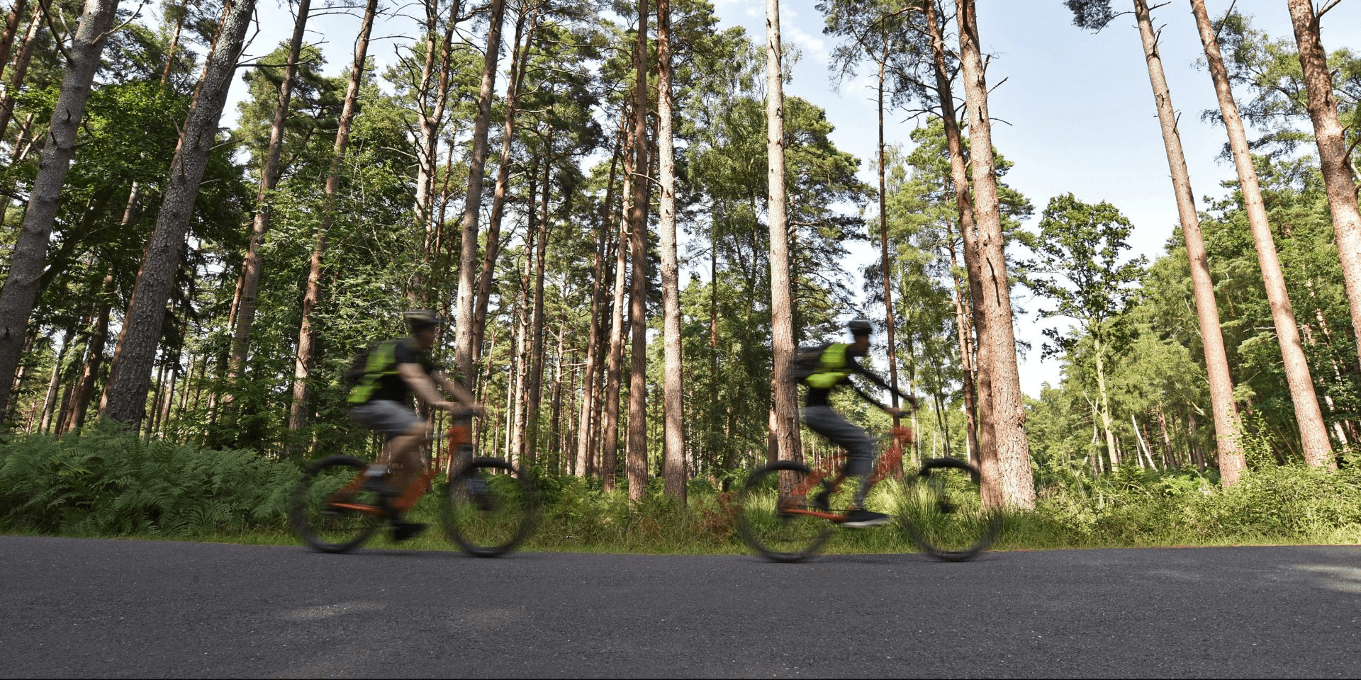
A predominantly on-road route, this ride takes you through some of the best open views that the Forest has to offer
For a particularly stunning ride, visit in August and September to catch the heather in its full purple bloom. Along the way, you will pass Beaulieu River. It is rather unusual in the fact that it is one of the few to be privately owned by a private estate rather than by the Crown. This quirk is a relic of its monastic past. Buckler’s Hard has played an important role in the New Forest’s nautical past. Lord Nelson built some of his famous fleet for the Battle of Trafalgar here, including the Agamemnon. The shipyard also produced ships for World War Two including a floating dock and ‘Beetle Boats’ used as pontoons. Yew Tree Heath was a heavy anti-aircraft gun battery site built on the high ground east of Beaulieu Road. Today you can see the concrete bases of the control station that helped aim the guns on the central mound of earth and the four gun locations as mounds around the carpark. You can find out more on the New Forest Remembers Portal at www.newforestheritage.org.
Overview
Start/finish
Ashurst Railway Station. Grid ref. SU333101. Postcode SO40 7AA
Ordnance Survey map
Explorer OL 22 New Forest
Getting there
New Forest Tour Red Route (summer only) or Ashurst Railway Station
Distance
14 miles (22.5 km)
Duration
2-3 hours
Local facilities
There are no public toilets at Ashurst railway station or Beaulieu Road station. There are public toilets next to the New Forest Centre in Lyndhurst. Stop at the New Forest Centre to learn about the New Forest. There are plenty of cafes, pubs and restaurants in Lyndhurst.
Accessibility
Well surfaced minor roads and waymarked off–road cycle tracks.
Percentage off-road for cycling
15 per cent off-road, 85 per cent minor roads.
Directions
The ride starts at Ashurst Railway Station. Head out of the car park using the main exit and take a left onto the A35.
Caution: take care the road can be busy.
After no more than 200m take a left turn into Ashurst campsite. Head towards the campsite reception.
Continue cycling past the campsite reception, stay to the left following waymarker 369.
Continue straight ahead towards the back of the campsite past waymarker 370 and onto a track next to the river, crossing over a small footbridge.
Turn left by the railings, up onto the railway bridge track at waymarker 371 to go over the railway line.
After crossing the bridge take a right at waymarker 372 and go through the gate.
At the next junction take a right at waymarker 373 and continue along the track.
Continue straight ahead at waymarker 374.
As the track rounds and climbs up to the left and out of the forest, go through the double gates on your right at waymarker 375 and 376.
Take a left and travel through the open landscape past waymarkers 377, 378, 379 and 380.
At Deerleap car park, cross over the cattle grid (waymarker 381) and follow the entrance track to the road at waymarker 382, then take a right onto Deerleap Lane.
Continue along this road for a while past a number of farmsteads. The road becomes Arters Lawn and there will be a signpost for Ipley (2 miles). When you reach a T-junction, take a right.
Continue along Beaulieu Road past the Bold Forester and around a series of bends until you cross a cattle grid and the Forest opens out in front of you.
At a crossroad take a right, travelling towards Ipley. Here there is a signpost for Beaulieu Road Station (2.5 miles) and Lyndhurst (6 miles).
The road crosses the Beaulieu River then gently climbs. At the crest of the hill you get great panoramic view before dipping down towards a T-junction.
At the T-junction take a right towards Beaulieu Road Station. Follow this road up and over the railway.
Continue along this road with the open heathland on both sides until you pass Denny Wood campsite.
As the road climbs you can see Lyndhurst church spire in the distance. Keep heading towards Lyndhurst.
As you approach Lyndhurst, shortly after a cricket pitch on the right there is a tree with a fence around it. This is Bolton’s Bench and the tree is the one found in the National Park Authority’s logo.
Take a right at the T-junction onto the A35.
As you leave the outskirts of Lyndhurst there is a cycle path to use on your left.
This takes you along the side of the A35 and all the way back to the station.
Caution: when crossing the road to get back to the station take care as it can be busy.