

Green links
What are the aims green link studies?
The New Forest is close neighbours with Southampton, Christchurch, Dorset and Salisbury and has longstanding links to these areas.
Green links studies look for opportunities to enhance the landscape, connect habitats and create green corridors for wildlife and people.
Waterside green links study
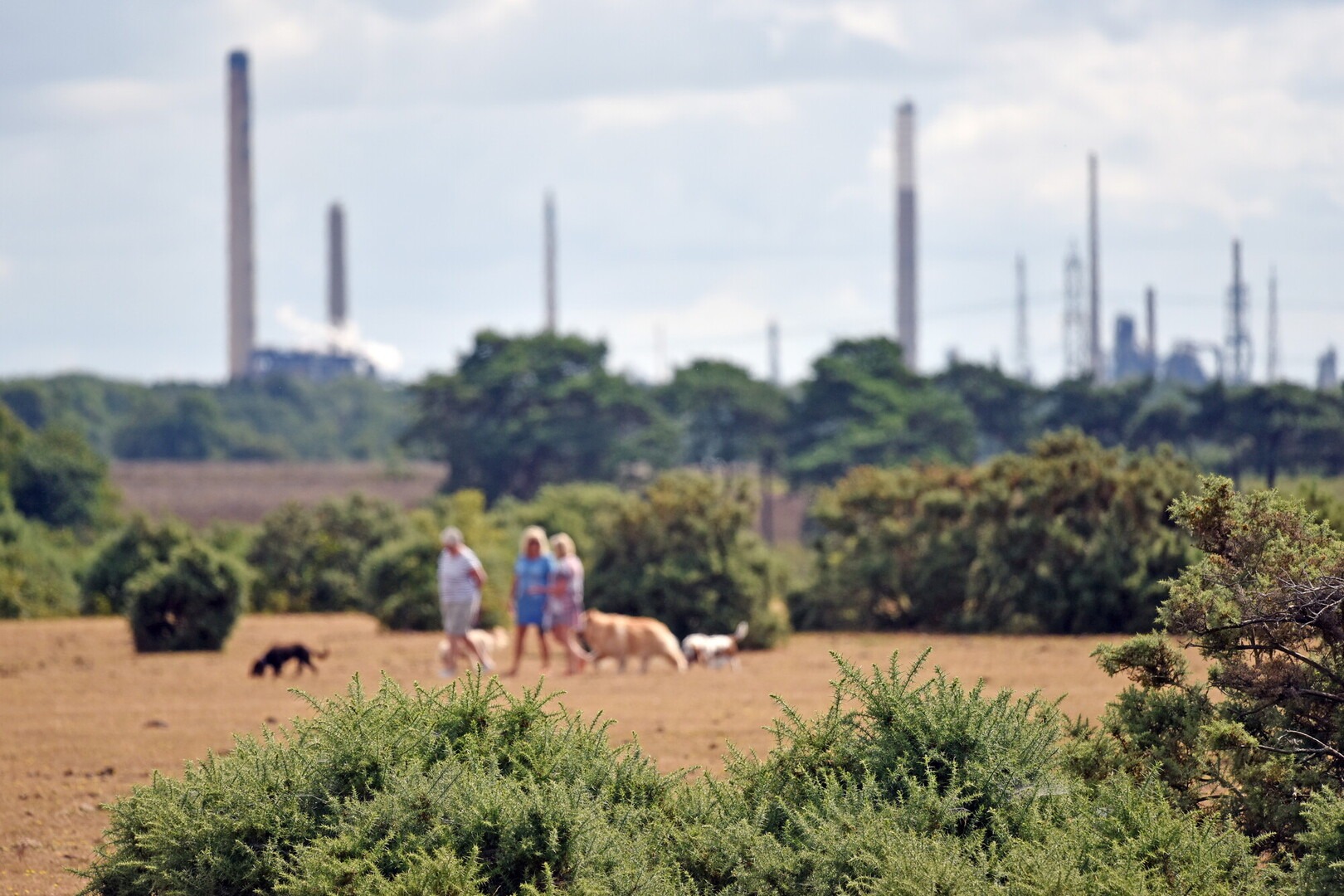
The New Forest National Park, Waterside and Southampton Water are close neighbours and have enjoyed historic links that remain to this day.
The Waterside green links study, commissioned by the New Forest National Park Authority, looks to strengthen the existing green links and create new ones between the New Forest National Park and Southampton Water, across the Waterside.
The aim is to help shape the vision for the Waterside area, connecting the unique landscape of the New Forest with Southampton Water, across the A326.
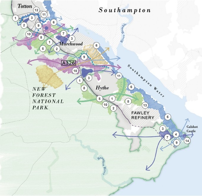
The Waterside green links study area focuses on the Waterside area between Totton in the north and Calshot in the south, along the A326 corridor, within the administrative area of New Forest District Council and the New Forest National Park.
Some strategies for the area have already been worked upon in collaboration with the New Forest National Park Authority, Hampshire County Council and New Forest District Council such as A Vision for the Waterside, the ReNew Forest National Park Partnership Plan and the Waterside Local Cycling and Walking Infrastructure Plan (LCWIP).
The Waterside Green Links Study looks at opportunities to create landscape enhancements, habitat connectivity and green corridor links between the National Park and Southampton Water, across the A326 and Waterside.
Five key areas are examined:
- Totton to Ashurst
- Marchwood
- Dibden Bay to Beaulieu River
- Hythe to Beaulieu Heath
- Calshot to Beaulieu River.
Objectives and potential actions for each area are outlined with sketch maps and innovative ideas for improving connectivity.
Please note: the maps are purely illustrative.