

The Old Railway
The Old Railway
Known as the ‘Castleman’s Corkscrew’ due to the shape it cut across the forest and Charles Castleman who promoted it
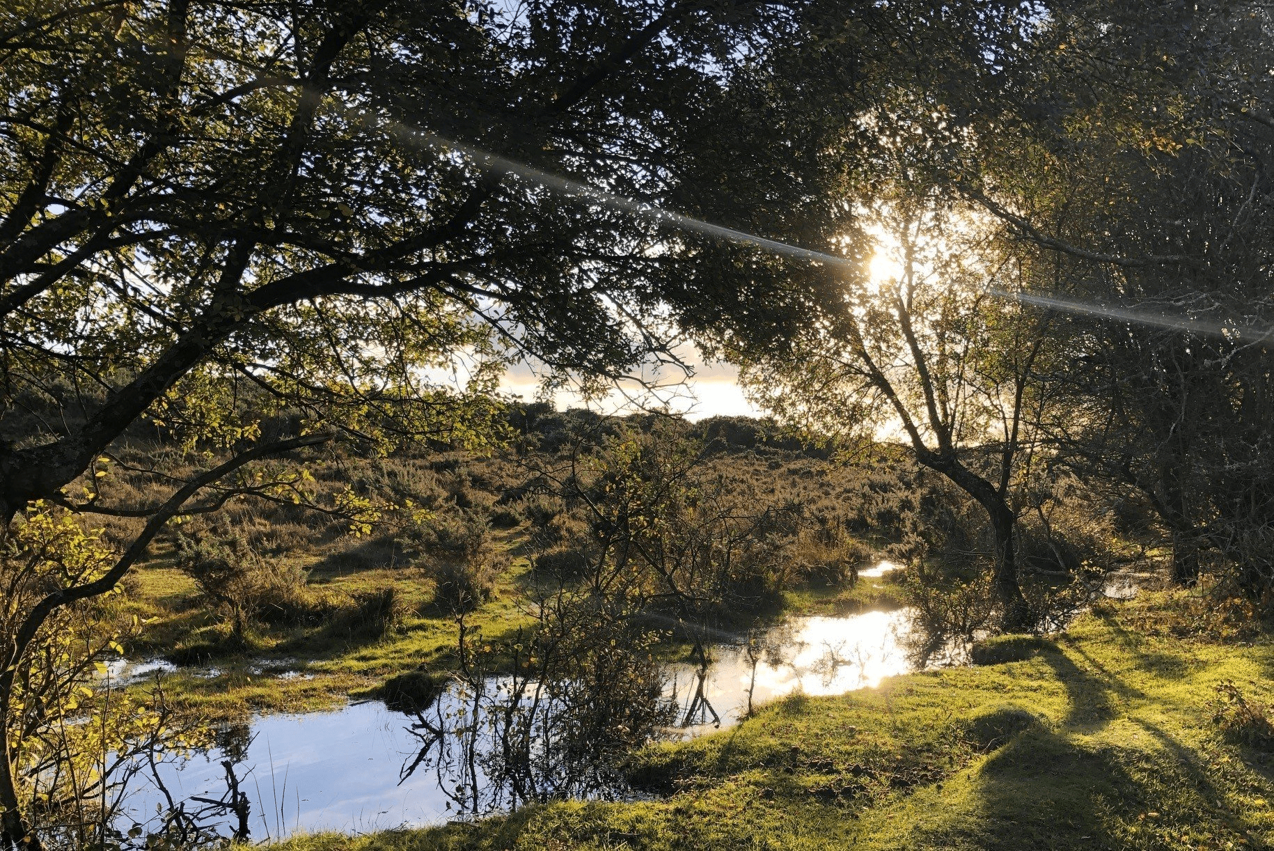
The now disused railway line was first proposed in 1844 and ran from Southampton to Dorchester. The line was only disassembled in the 1960’s with over a hundred years of use and today forms part of the National Cycle Network. The route begins in Brockenhurst, a charming village in the centre of the New Forest. Brockenhurst has great links by rail to explore the Forest car free. A place to unwind and spend time enjoying the outdoors. Brockenhurst has plenty of amenities, refreshments, places to stay and more.
Overview
Start/Finish
Brockenhurst Railway Station. Grid ref. SU301020. Postcode SO42 7DW. Finishing at Burley Village
Ordnance Survey map
Explorer OL 22 New Forest
Getting there
New Forest Tour Green and Blue Routes (summer only) or Brockenhurst Railway Station
Distance
9 miles (14.5 km)
Duration
2-3 hours
Local facilities
Both Burley and Brockenhurst have a variety of options for food and drinks, there are public toilets available in both villages. Cycle hire is available from Cycle Experience in Brockenhurst www.newforestcyclehire.co.uk and Forest Leisure in Burley www.forestleisurecycling.co.uk
Accessibility
Waymarked off–road cycle tracks and a few well surfaced roads.
Percentage off-road for cycling
70 per cent off-road, 30 per cent roads.
Directions
Starting at Brockenhurst Railway Station on the ticket office side, leave by the ramp at the back of the car park onto Avenue Road, there are blue signs here which say ‘New Forest Cycle Network’. At the bottom of Avenue Road, turn left onto Sway Road.
Follow Sway Road for a while out of the village and over the railway line.
At the T-junction take a right onto the B3055.
Shortly after passing under a railway bridge, as the road bends around to the left, take a track to the right, waymarker 217.
At waymarker 216 take a left past a low gate onto the straight railway track.
Keep following the old railway track. You pass over bridges at waymarkers 214, 213, 208 and 207.
The railway track continues through the middle of Setthorns Campsite at waymarker 195.
Continue along the railway track past waymarkers 194, 193 and 192.
As the track ends at a road, take a right here at waymarker 191.
Approaching the triangle junction stay left to join onto Burley Road.
Caution: this straight road can have reasonably fast traffic and is not ideal for younger children.
As you cross under the A35 with Holmsley tea rooms on your left, turn here but immediately look for an off road track to take on the opposite side of the road. Go through the gate onto the railway track.
Continue to follow the old railway track.
Cross over Holmsley Passage at waymarkers 160 and 159.
Continue along the old railway line.
After crossing a bridge with a metal centre piece keep following until you arrive at a low wooden fence across the path shortly after waymarker 158. There is a small single track off to the right, take this into Burbush car park.
At waymarker 157 take a right turn out of the car park onto Pound Lane.
Follow Pound Lane into the centre of Burley Village.