

Hawkhill Trail
Hawkhill Trail
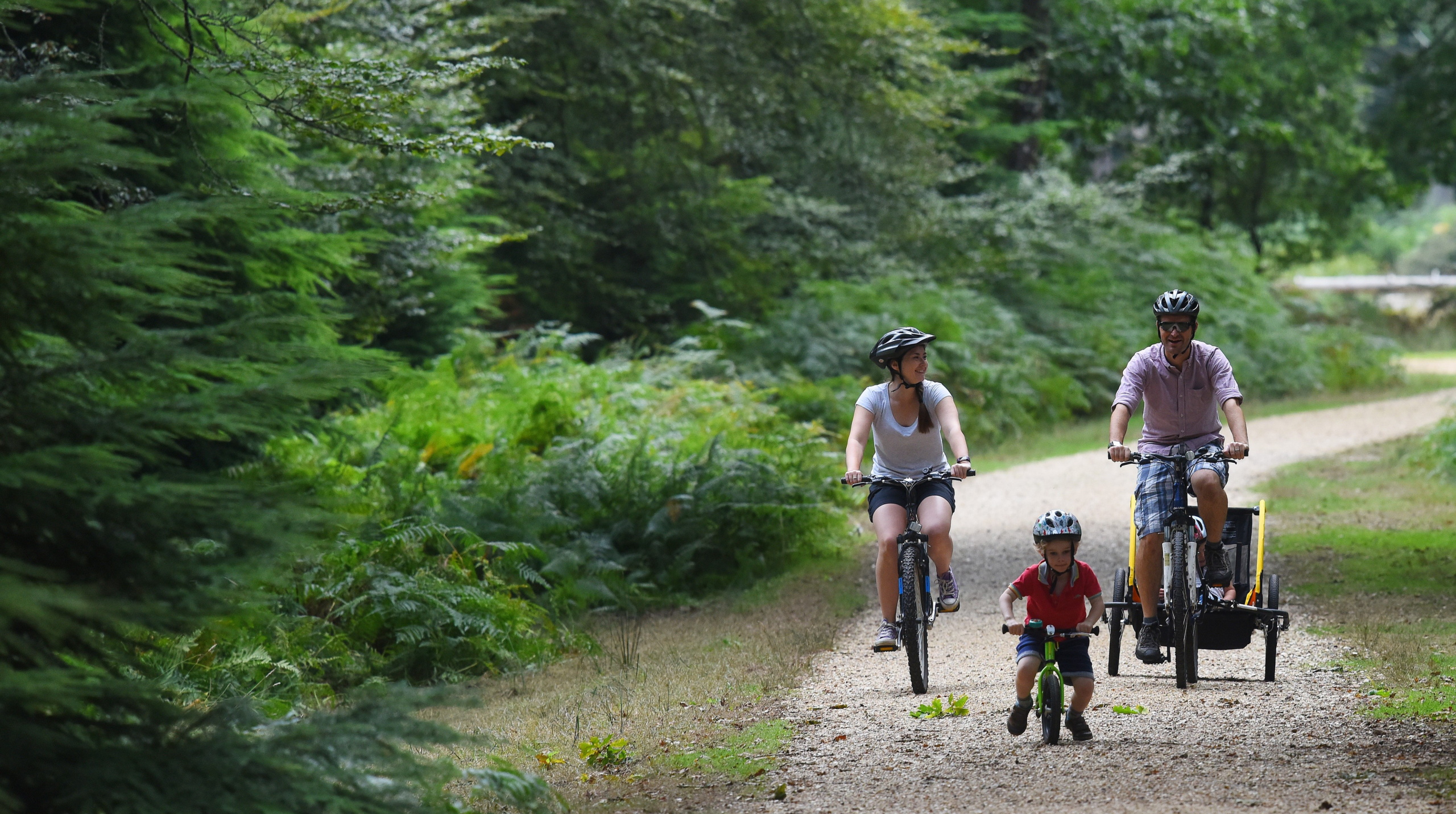
Discover some of the most interesting features of Beaulieu Airfield on this traffic free cycle ride
Roundhill campsite is a pleasant place to stay in the forest with great access to Forest tracks for cycling and walking. In WWII it was used as the ancillary accommodation site for the RAF personnel who lived and worked at Beaulieu Airfield and after the war as temporary homes for those taking part in ongoing training and experimental work. Find out more at www.newforestheritage.org. North of the main airfield at RAF Beaulieu is Hawkhill Inclosure. Hidden in these woods were the bomb storage and preparation areas. Bombs would be taken from the storage bunkers on trolleys. Fuses, fittings and tail sections were installed with all the safety pins put in place prior to taking them via trolley to the main airfield and loading them onto the planes.
Overview
Start/finish
Roundhill Campsite. Grid ref. SU332020. Postcode SO42 7QL
Ordnance Survey map
Explorer OL 22 New Forest
Getting there
If driving then park at Beaulieu Heath car park, point nine on the map and follow instructions numerically from there. Otherwise start from Roundhill Campsite.
Distance
9.1 miles (14.5 km)
Duration
2-3 hours
Local facilities
This walk does not have any facilities. Roundhill campsite does have toilets, but these are for guests only. Alternative parking and starting point is available at Beaulieu Heath car park, point nine on the map.
Accessibility
Off-road gravel cycle tracks and airfield pathways.
Percentage off-road for cycling
100 per cent off road. 2 road crossings
Directions
Driving? Park at Beaulieu Heath car park, point nine on the map, and follow instructions numerically from there.
If not then this ride starts at Roundhill campsite. Head out of the main entrance past the reception and cycle along the entrance road until you reach the main B3055 and waymarker 313. Cross over the main road and the cattle grid at waymarker 312.
Caution: Please be careful of cars when crossing the road as this is one of the main routes between Brockenhurst and Beaulieu.
Follow the gravel track down a hill and continue straight over at the cross roads at waymarker 308.
Follow the gravel track and continue straight ignoring other junctions past waymarker 308. Continue through the gate adjacent to the cottage and cross the railway using the bridge. Pass through another gate and past waymarker 307.
After passing through several gates and waymarkers 305, 304 & 303 continue to follow the track around a right hand bend after a gate (ignoring a grass track ahead). At the next crossroads continue straight over at waymarker 288 and enjoy the meander through the wood.
After following the gently curving track through woodland you will reach a T-junction (waymarker 286). Turn right and follow the track until a fork (waymarker 285). Take the right fork and follow the straight track past waymarker 298.
Follow the track up a hill and round a right hand bend before passing through a gate and up a hill. After you have seen the woodland change from conifer plantation into the more natural ancient woodland you will reach a T-junction (waymarker 296). Turn right here down a tarmac road.
Follow the track taking the left hand fork at waymarker 297 when the track splits and head down the hill past a few houses.
Pass through a gate and past waymarkers 299, 300, 301, 324 & 325 continue straight and cross the railway line. After crossing the bridge and reaching the junction (waymarker 326) turn left, cross over the cattle grid and onto another long straight track, continuing past waymarker 329.
On arrival at the junction with waymarker 330 take a right hand turn
You eventually arrive at a set of gates with waymarker 331 between the two. Go through both and head down the hill
At the cross roads take a left at waymarker 332. Continue along the track until waymarker 337 where you make a sharp right.
Head up the hill and past waymarker 344. Continue to follow the track straight on passing through several gates, past waymarkers 345 and 346, and the car park on your left.
Cross the road carefully, heading straight over and past a gate at waymarker 348. Continue on this track until a T-junction waymarker 319. Turn right onto the paved section of the old airfield and follow it around a left-hand turn. This used to be the old perimeter track for the WWII Beaulieu Airfield.
Caution: please be careful of cars when crossing the road as this is one of the main routes between Brockenhurst and Beaulieu.
Caution: after heavy rain standing water can be present on the airfield.
Where the tarmac turns to gravel take a right at waymarker 318 (the path continuing straight on is a footpath only). Look out for the concrete patch that used to be a hangar on your right.
After a short distance on the gravel track there is a junction at waymarker 317, take a left here. This can be easy to miss so keep an eye out. If you end up at a road you have gone too far and will have to double back on yourself.
Follow this path over broken concrete until you reach the back of Roundhill campsite at waymarker 316. Pass the gate and continue to the left along the outskirts of the campsite on the tarmac road.
Follow the road around a bend at waymarker 315 and continue towards the campsite reception past waymarker 314.
Caution: please be aware of other campsite users and cars when cycling in the campsite.